Alpine Cartography Field School, Hiking in the Saxon Switzerland NP, Mapping with cartographer Dr. Rolf Böhm
The winter semester 2020/2021 at TU Dresden is off to a very good start, despite the current Corona situation with its unpleasant but necessary restrictions. The highlight was – without any doubts – the Alpine Cartography Field School (ACFS) that took place between 28 September and 7 October 2020 in Ramsau/Dachstein (Austria). Although the chances were not particularly high, a convincing hygiene concept and low Corona infection rates in both Austria and Germany at that time were the prerequisites that the ten-day field school could nevertheless happen in 2020.
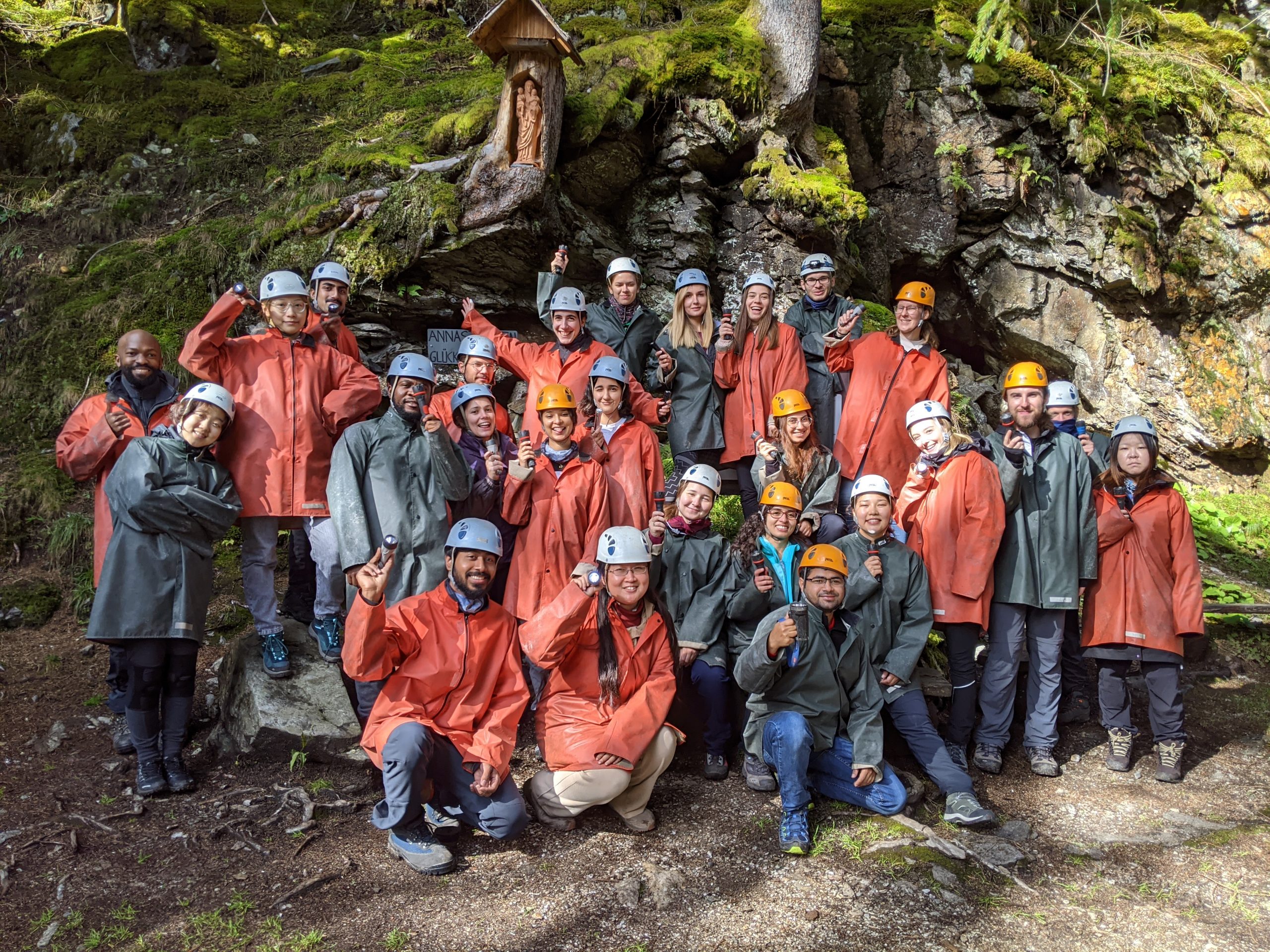
Altogether, 23 students of the international Cartography M.Sc. and three students of the Geoinformation Technologies M.Sc. programmes were exposed to topics like map-reading, field-mapping, cartographic surveying as well as the peculiarities and special problems of high-mountain cartography. Other topics covered during the ACFS were for example tangible relief/landscape models, mobile weather mapping, laser scanning, panoramic landscape depiction, orienteering, mental maps, glaciology and mobile devices.

In addition to the professional programme there was also enough time for leisure activities in the beautiful surroundings of Ramsau. The casual “Jause” dinner at sunset on top of a 2000-meter peak will remain in the memory of all participants!
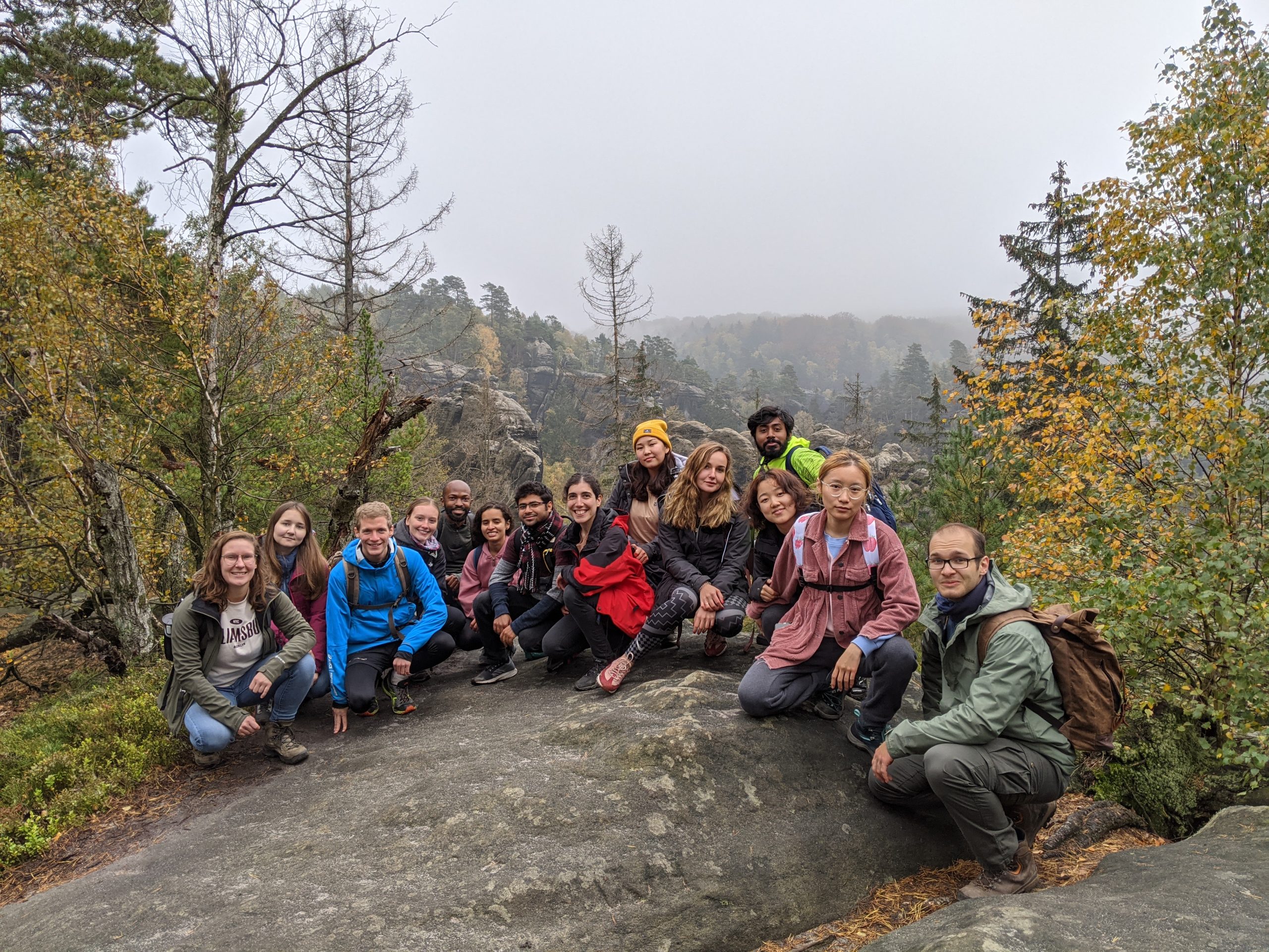
The Saxon Switzerland National Park is only a 45-minute train ride away from Dresden main station and was the location of the first social activity at TU Dresden – a pleasant hike a bit off the beaten track through the unique sandstone landscape. The many viewpoints on the way overlooking the colorful fall forest lowered our walking speed to some extent and we got into the darkness. Eventually, a long chain of cellphones operating as torch lights and looking a bit like a lantern procession was moving through the forest and back to civilization. No one was lost J.
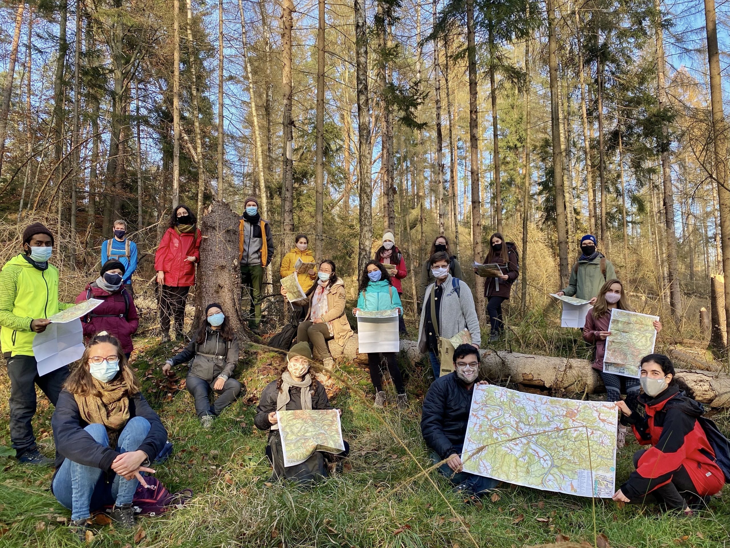
The second trip to the national park led to the exceptional cartographer Dr. Rolf Böhm who is famous for his hand drawn hiking maps of Saxon Switzerland and adjacent areas. A visit of his office was impossible this year since social distancing would not have worked there and the event was converted to an equally informative mapping hike in a remote area of the park. Dr. Böhm presented his newest map, gave detailed and personal insights into his cartographic work and life, patiently answered all questions and finally explained the difference between a cartographer and a baker. His congenial nature was a very special experience for everybody.
We wish all students a pleasant and successful semester at TU Dresden, despite all circumstances! Take care!


