Wood has been always a fascinating material to work with. It is natural, unique in color and texture, flexible and stubborn at the same time. Nikita Slavin, Cartography M.Sc. student from the 8th Intake, is telling his story on how he learnt woodworking for map creation…
I have always dreamt about working with wood! No matter if you are inept-handed, the new technologies such as laser cutter can give you all the necessary tools to get started. You can say to the machine what to do, and it will do it. Precisely and fast. TUM MakerSpace in Garching is a huge workshop that provides a wide range of different equipment to realize your creative ideas. Thus, for my work, I have used a laser cutter, a tool for cutting, engraving and marking various materials.

I decided to get started with two small projects: a keychain and wooden globe. The keychain was made as a souvenir for the entire 8th Intake Cartography M.Sc., whereas the wooden globe was a secret Santa gift for one of my groupmates. It was important to start with something small to get more experience in the basic techniques.
The Dymaxion Globe design is based on Fuller Projection created by mapping the Globe onto an icosahedron and then unfolding its 20 faces. In comparison to other prominent map projections like the Mercator projection, the Dymaxion map shows fewer distortions, especially around the Polar Regions. Building upon an existing project from instructables.com, few adjustments and mounting system improvements were added.

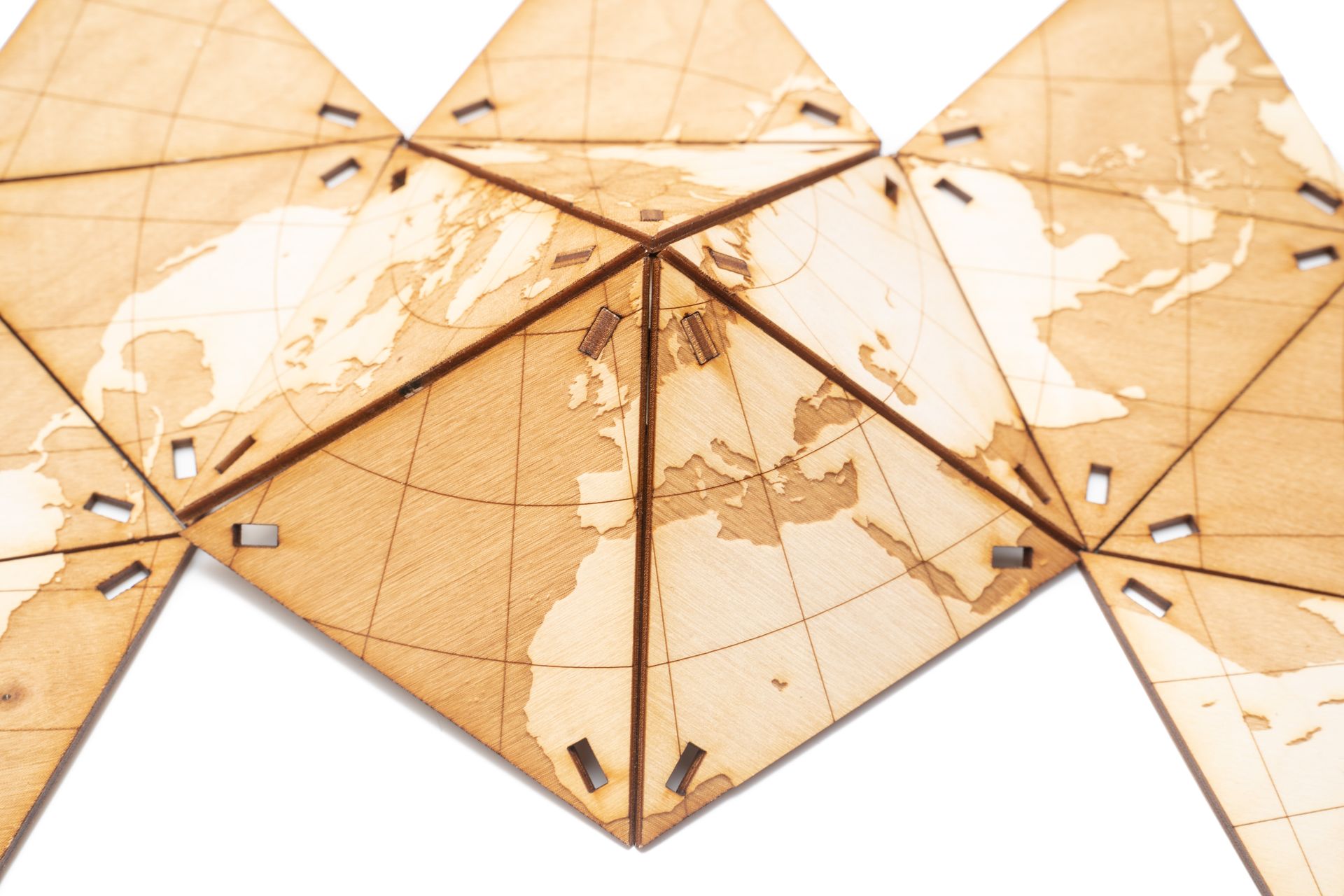

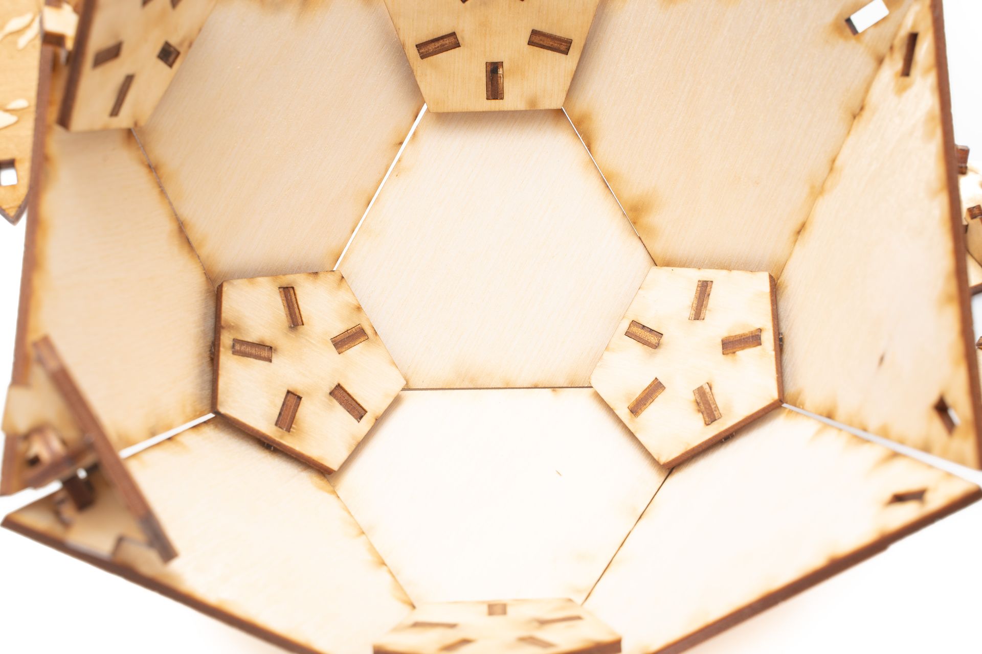
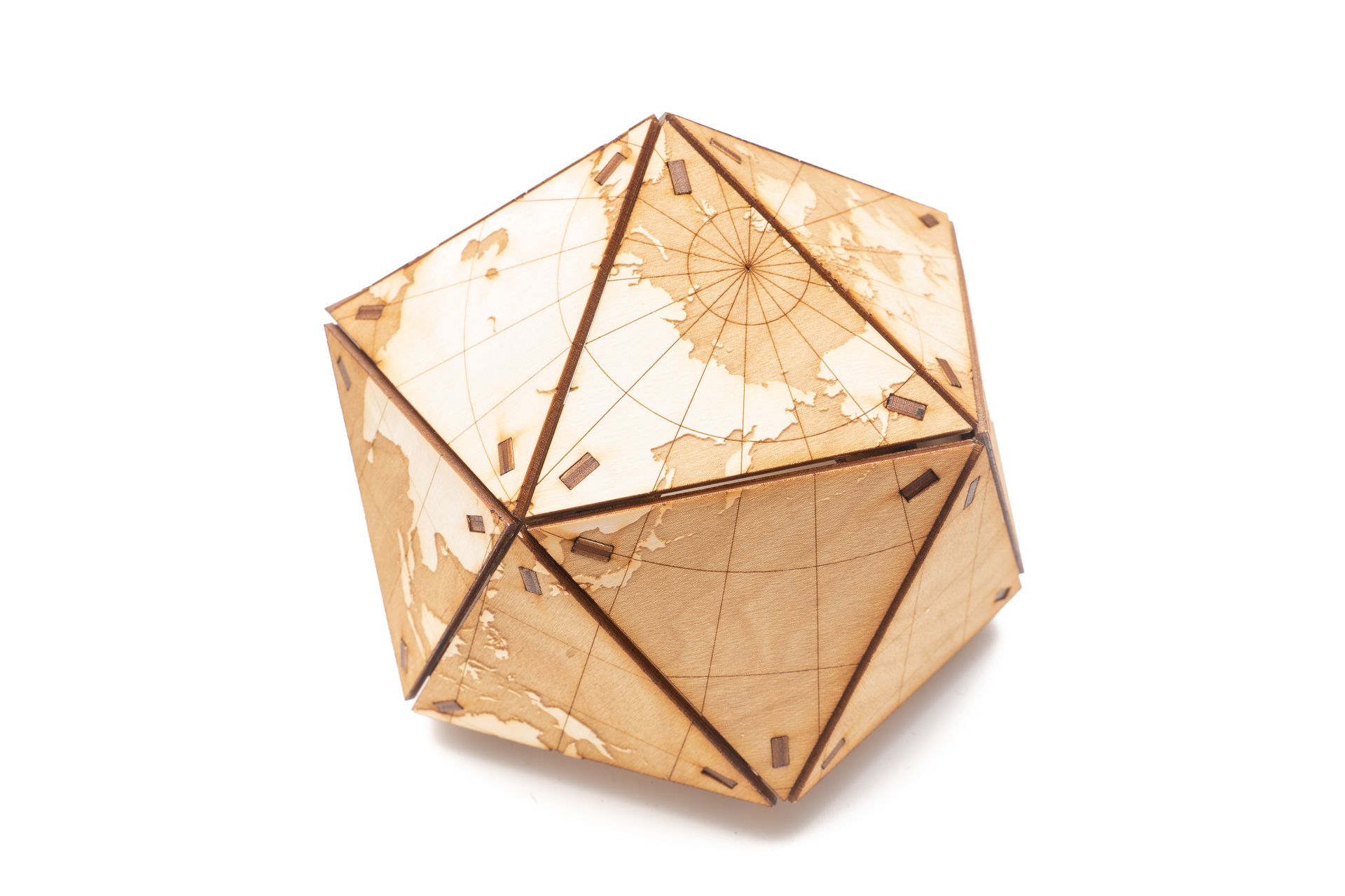
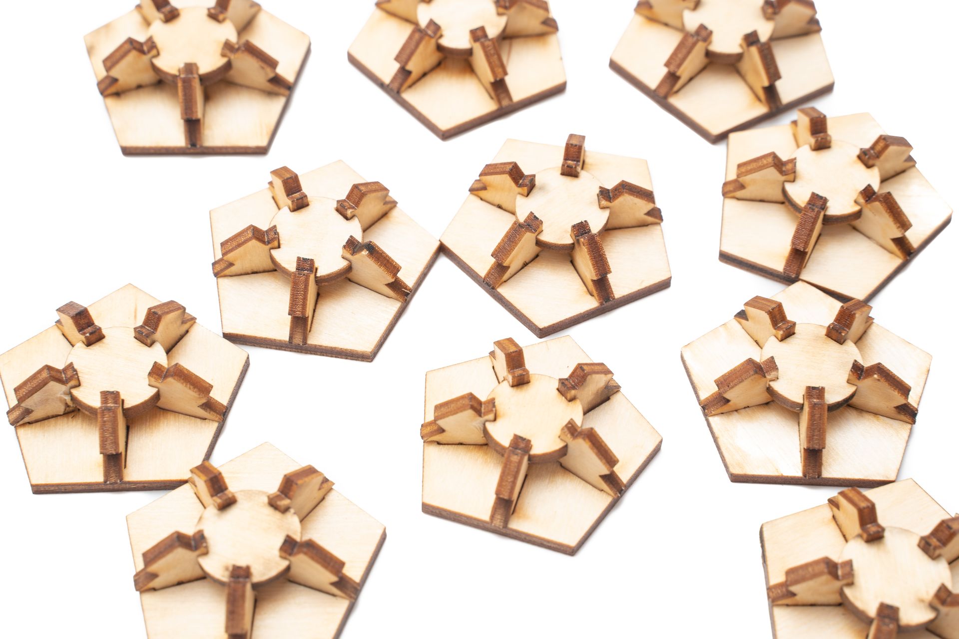
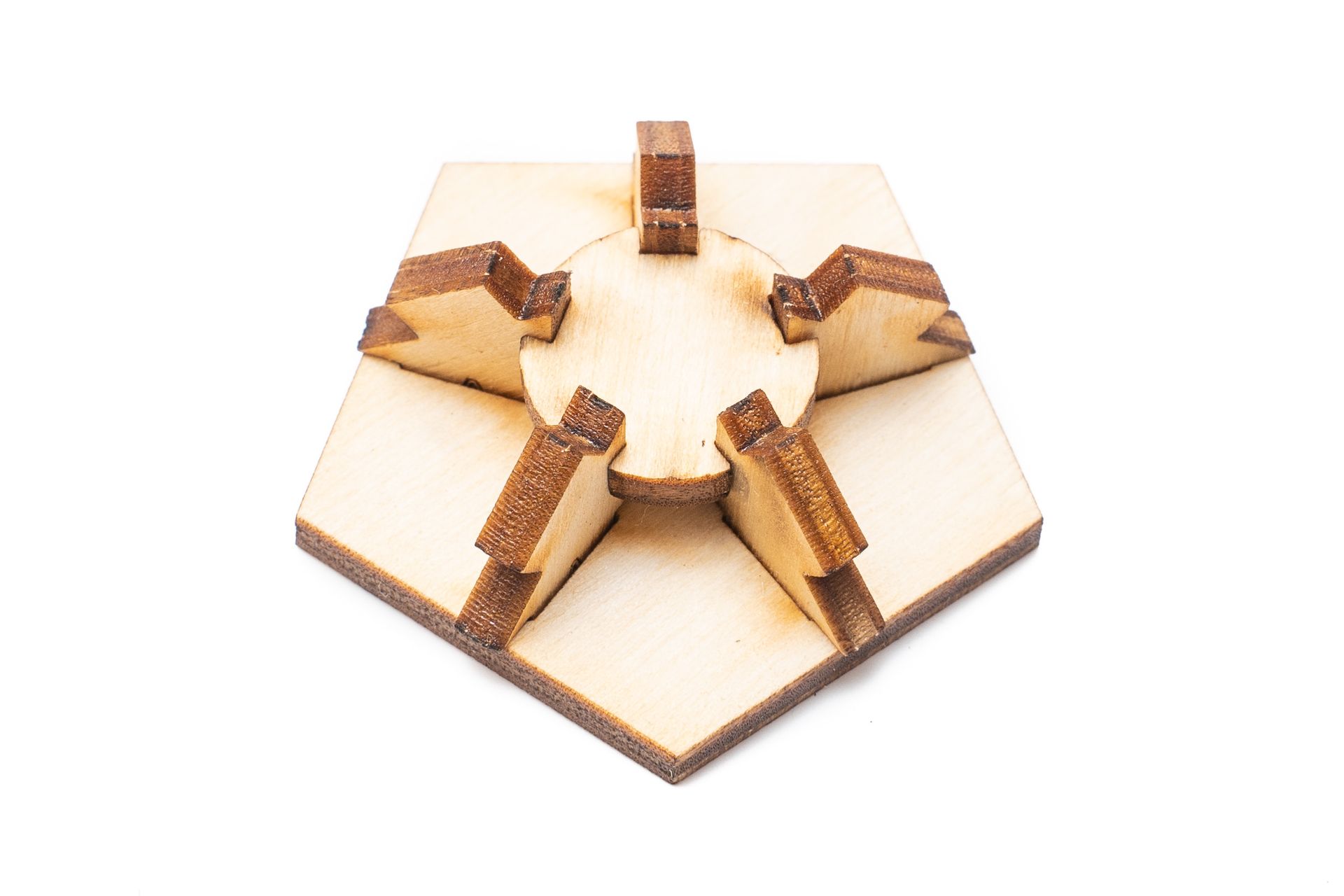

Dymaxion Wooden Globe Constructor. Material: 3mm plywood. Constructor contains 20 faces and all connecting parts. Side length: 93 mm. Software: Adobe Illustrator
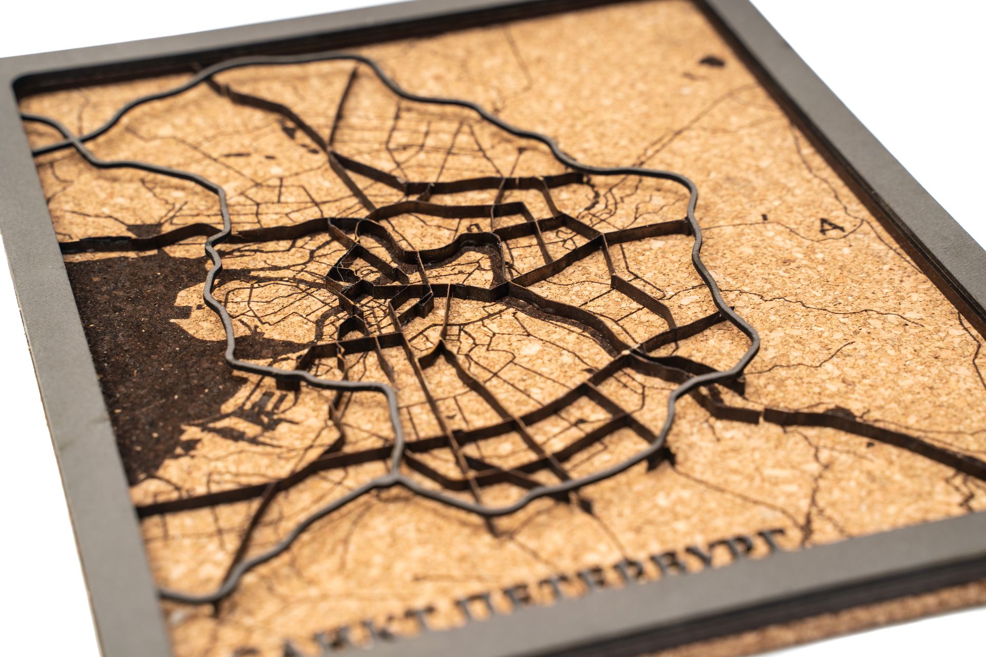
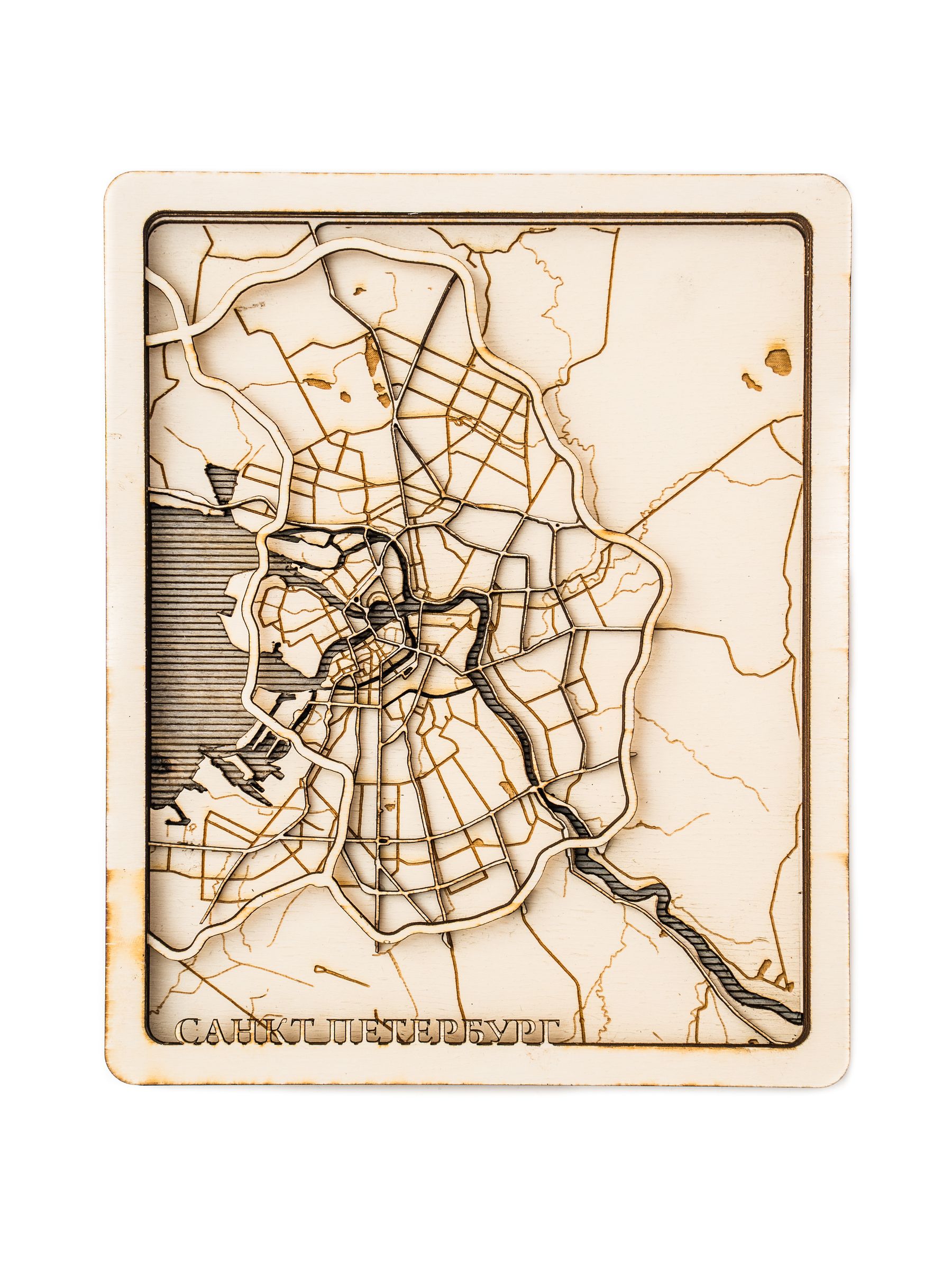
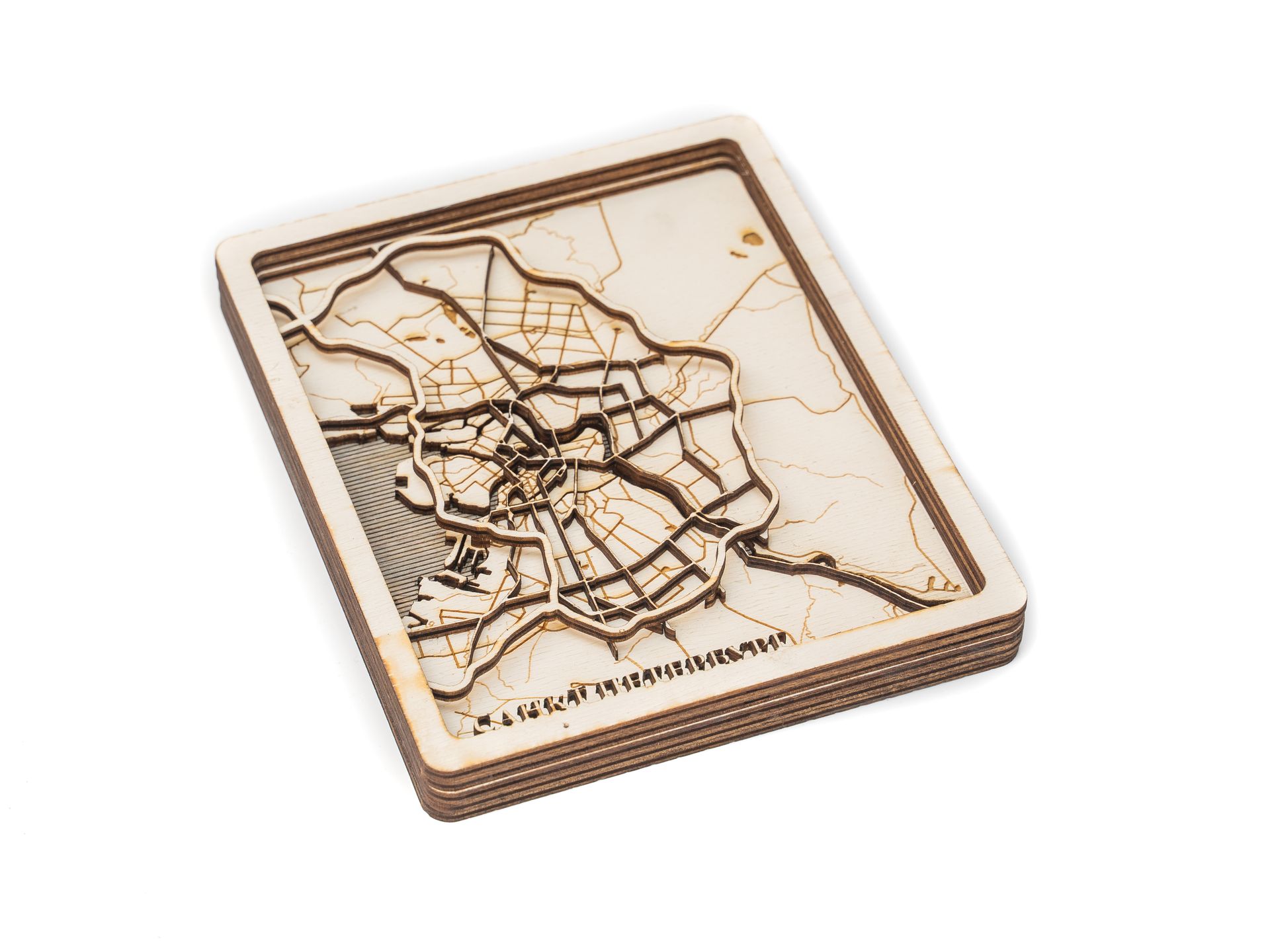
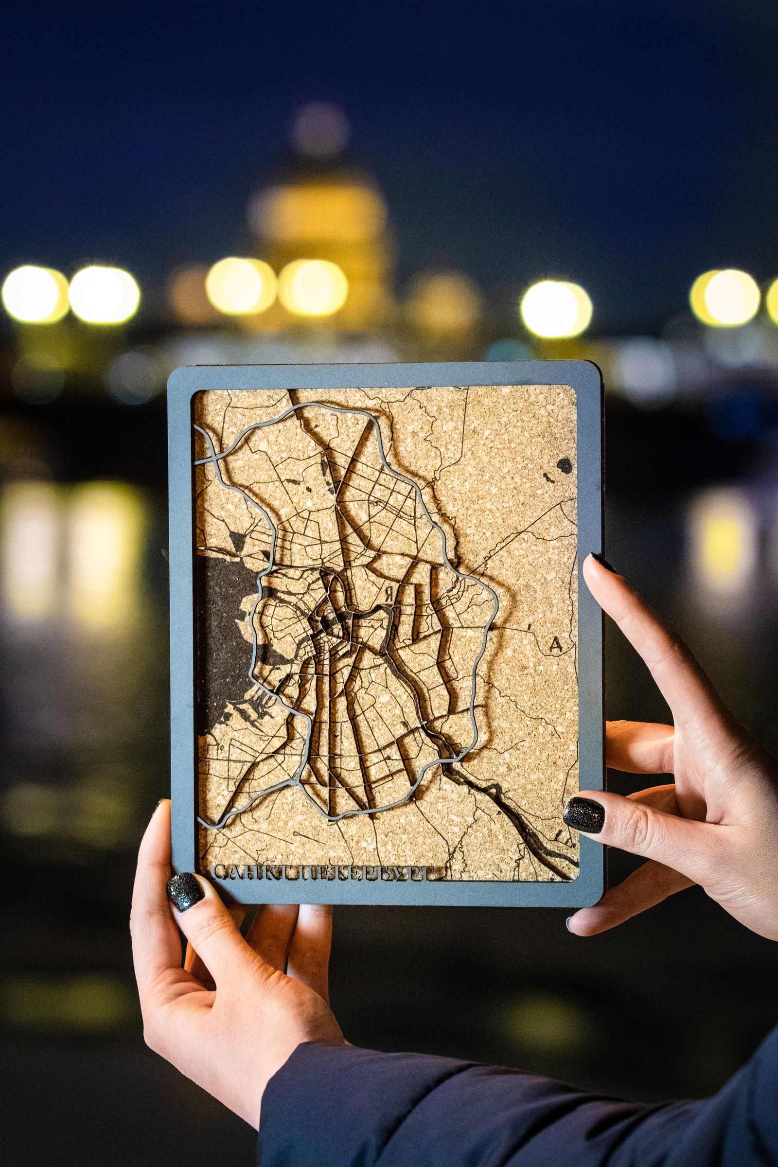
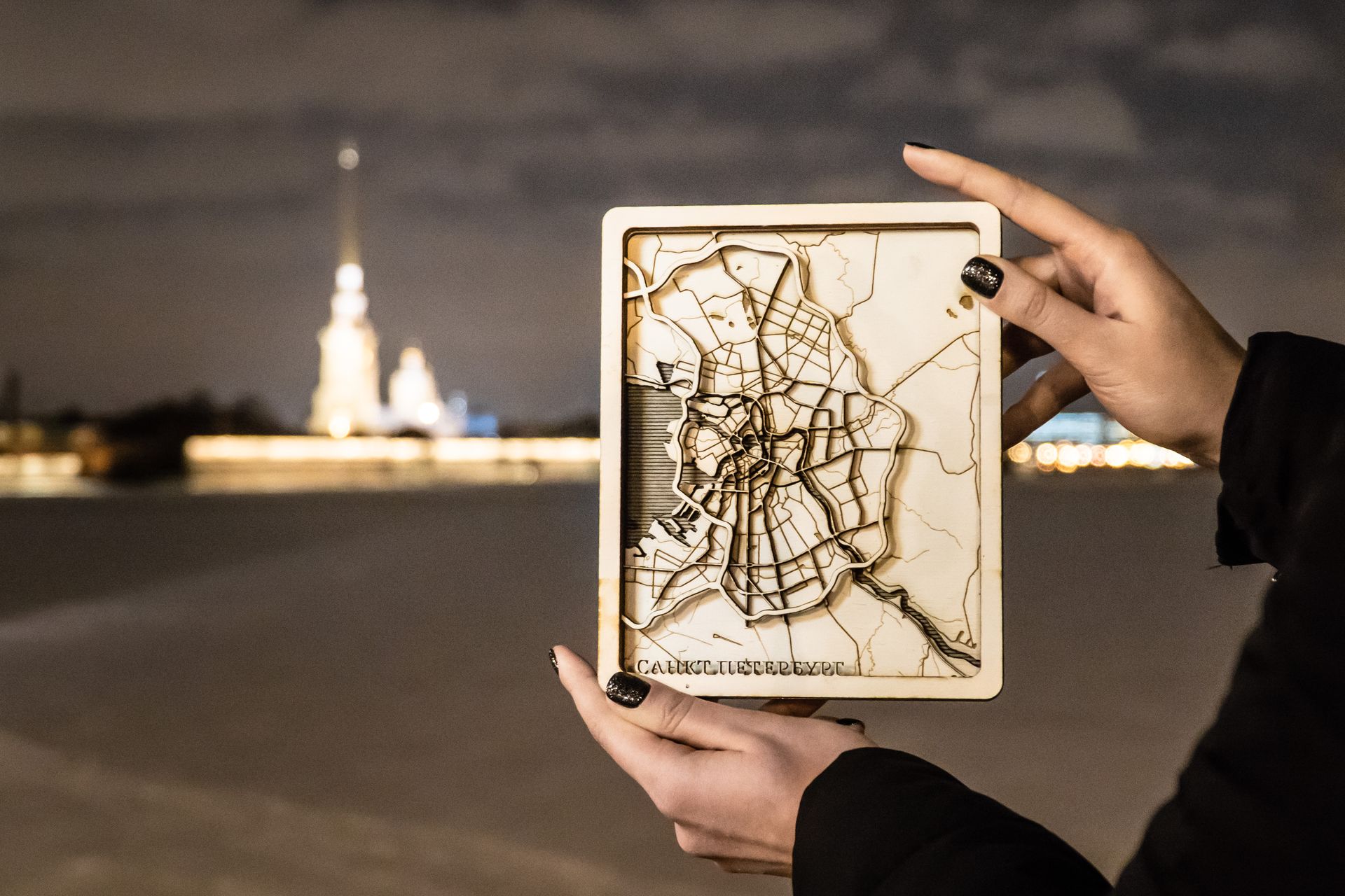
The next two items are rather similar as both of them show the second biggest city in Russia, Saint-Petersburg and its surroundings. The first piece is made of cork, carton and MDF and it includes some personalized places marked, such as work and home. The second attempt of the same map was made to correct mistakes and try to work with some new materials. Although this project was inspired by commercial works available on the Internet, the most challenging part was to choose and filter the open source data according to the physical size of elements rather than scale.

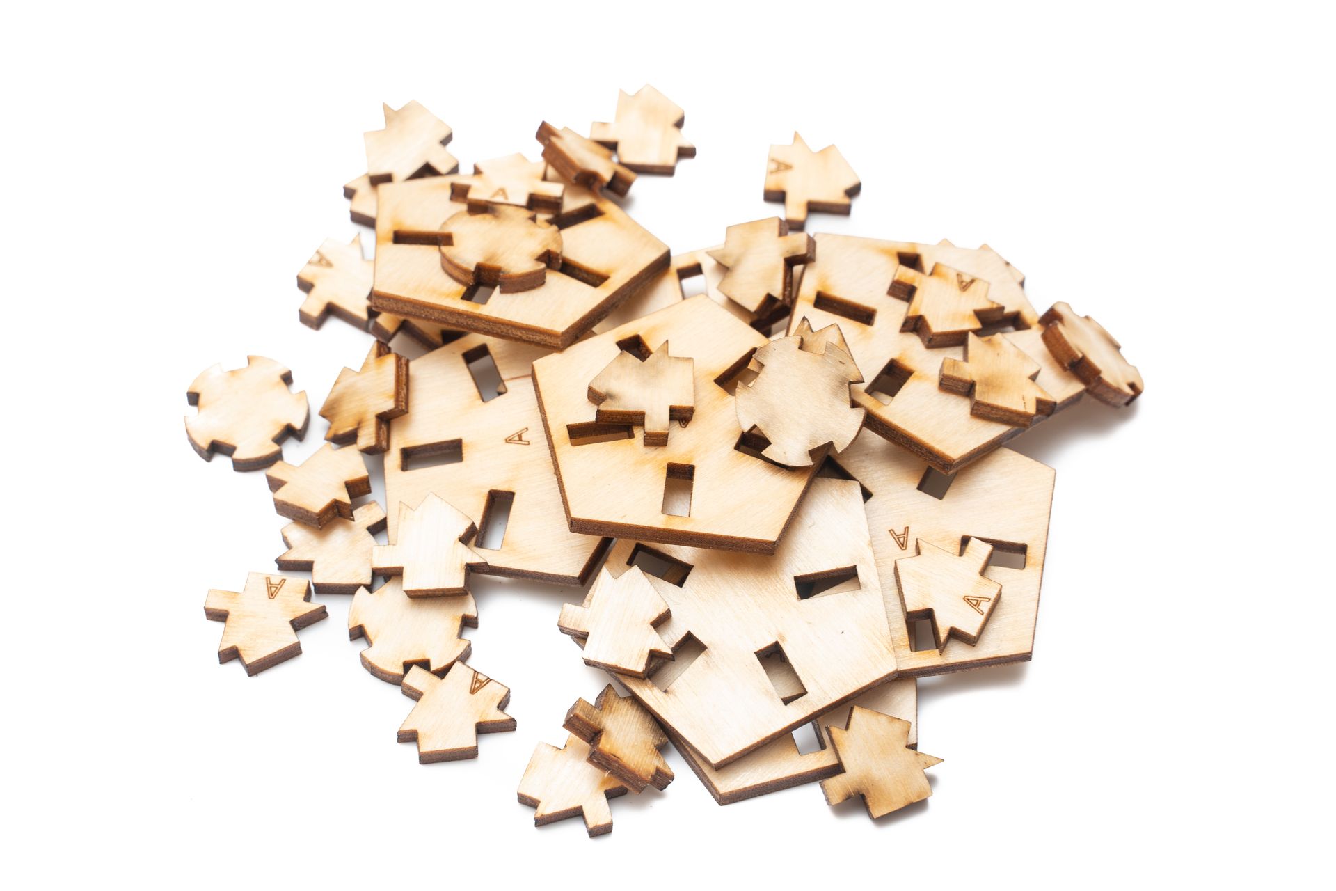
Looking for a new challenge to practice wooden map creation, I decided to make a hard copy of the mobility map of Cartography M.Sc. program. Hence, I got a chance to work with some new materials such as paper and carton and to enhance my skills in layout preparation and map assembly.
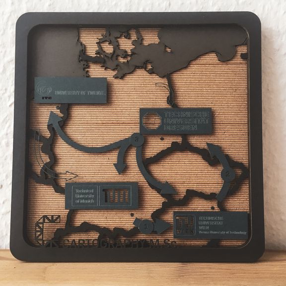
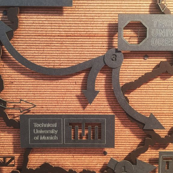

Mobility Map of Cartography M.Sc program
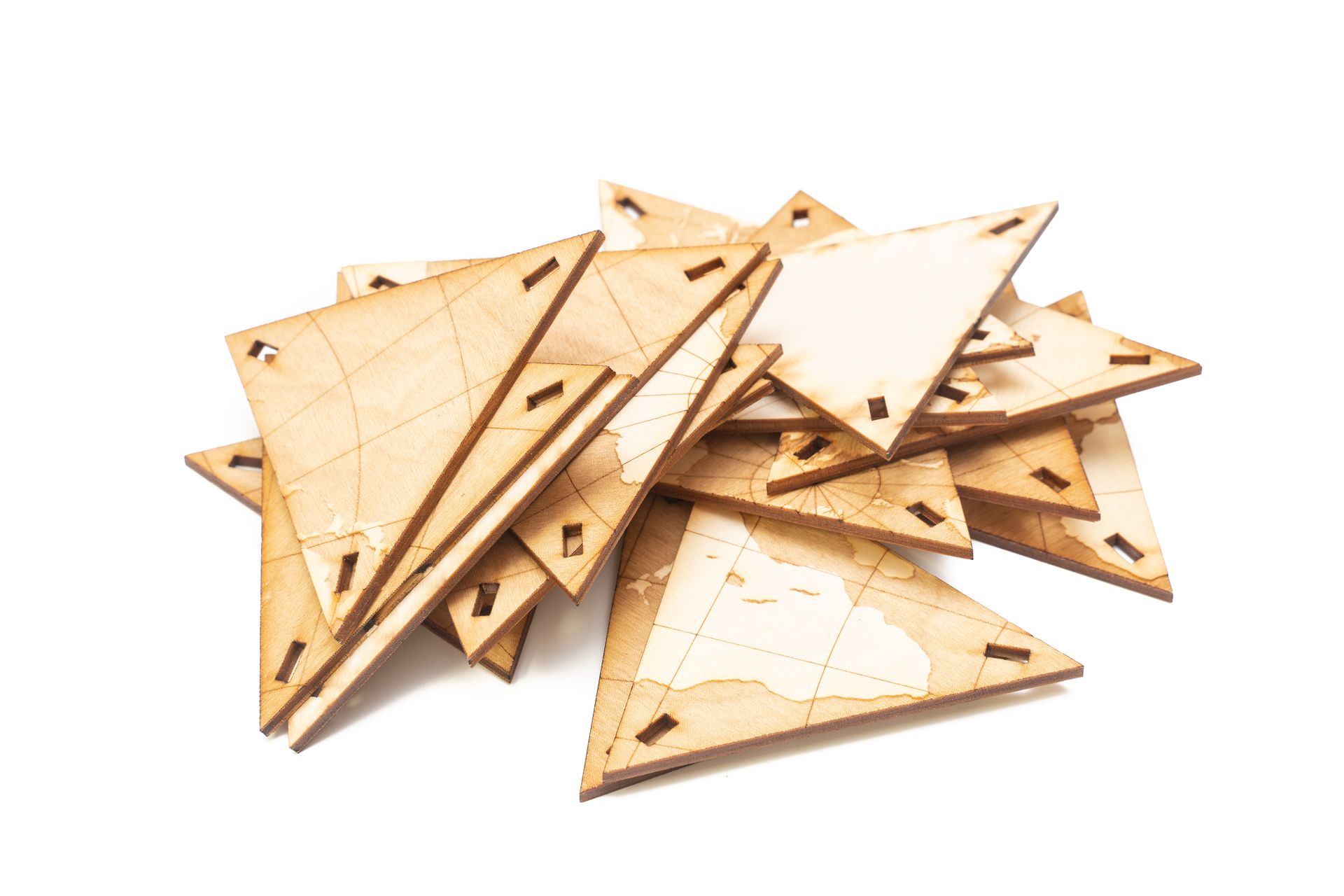
The last and most complicated project I carried out in the MakerSpace was a Relief map of Barentsburg, a Russian city in Norway’s Svalbard archipelago. As a friend of mine worked in Barentsburg as a polar guide, he took a photo from his apartment, which I used to reconstruct orientation parameters. Based on this information I chose the extent and rotation for the map. Additionally, the mountain skyline is engraved on the plywood and the field of view and the photo location are represented using paper elements. The relief is reproduced by stacked layers with elevation interval of 50 m.
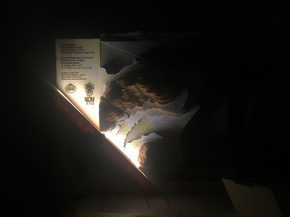
Besides, the Barentsburg map has a light source, which simulates the sun position at the moment when the photo was captured. By turning on the light the shadows fall on the places just like it was at that moment. Moreover, the Barentsburg map includes an overview relief map of Svalbard.
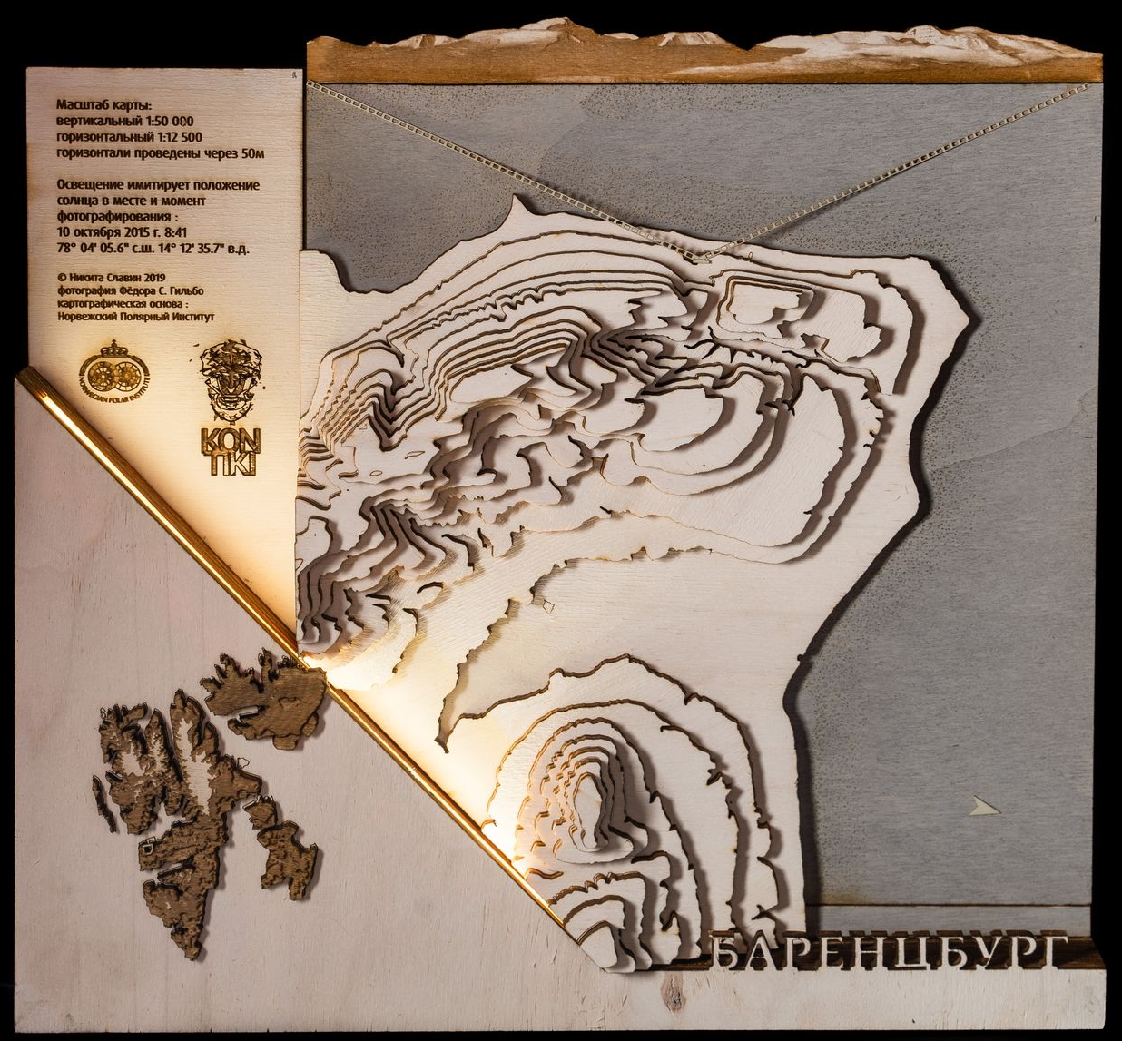
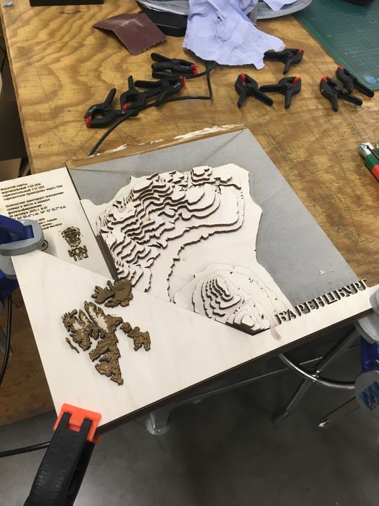
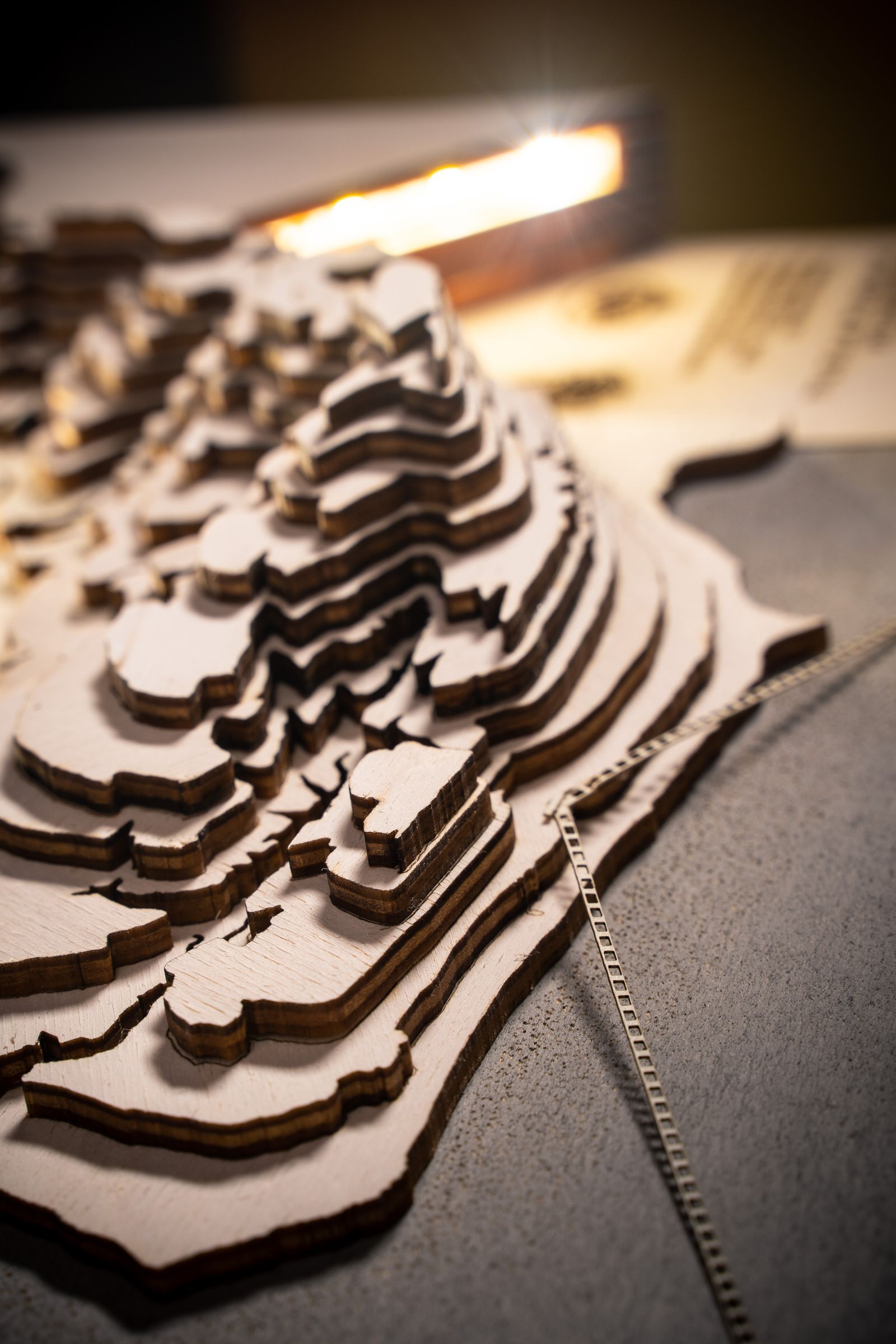
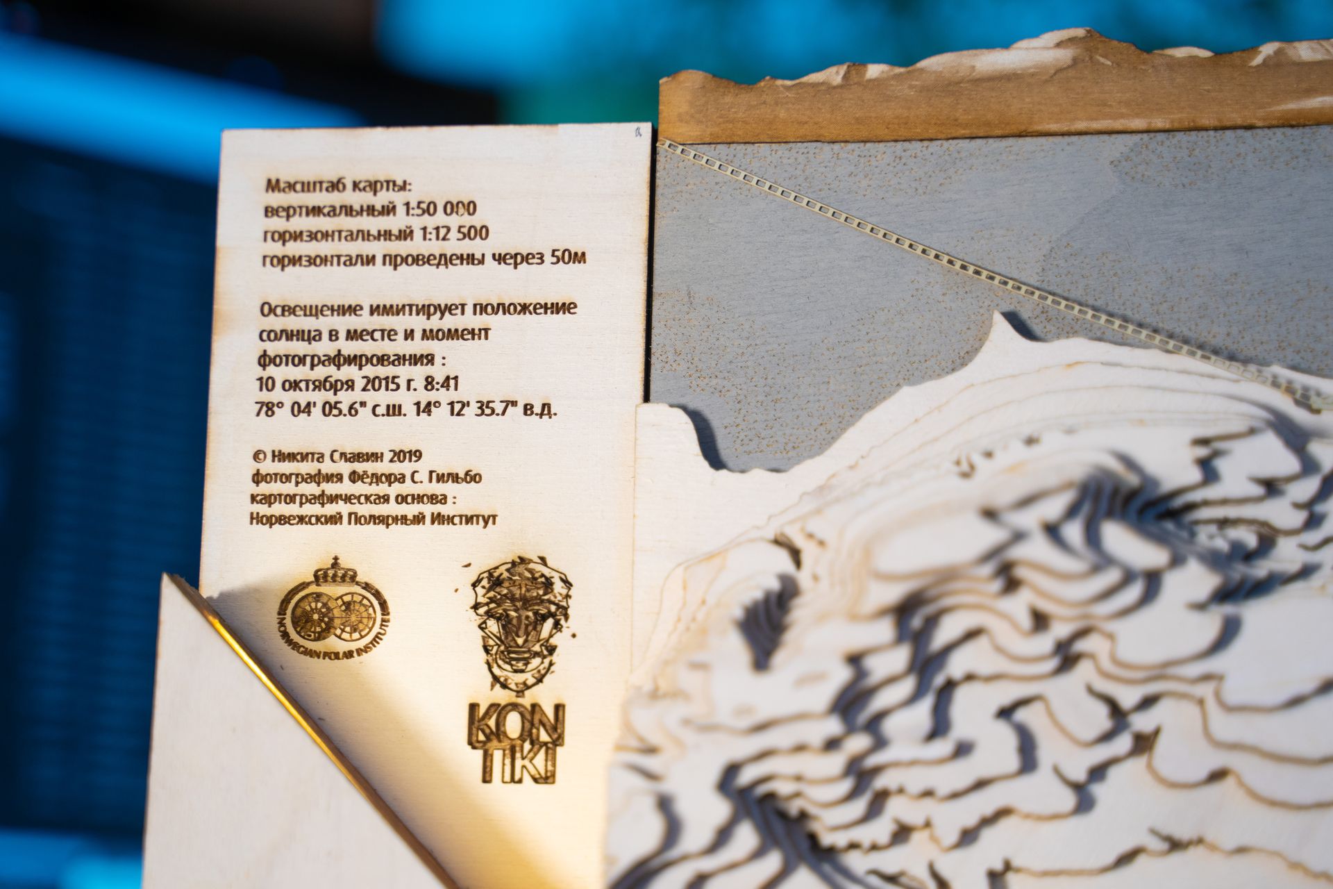

Barentsburg surroundings. Materials: plywood 4mm, 3mm tinted with stain, paper. Size: 27x32x6 cm. Software: QGIS, ArcScene, Adobe Illustrator. Source data: Norway Polar Institute
Nikita Slavin, WS 2018/2019


