DIGITALE WELTEN 2024, a congress for geoinformatics and geodesy, took place on 27 February 2024 in the city hall of Dresden. Every year, this event offers a platform for face-to-face meetings with representatives of public administration, science and companies through open specialist discussion and personal exchange of opinions. The congress is accompanied by a trade exhibition of Saxon and national institutions and companies.
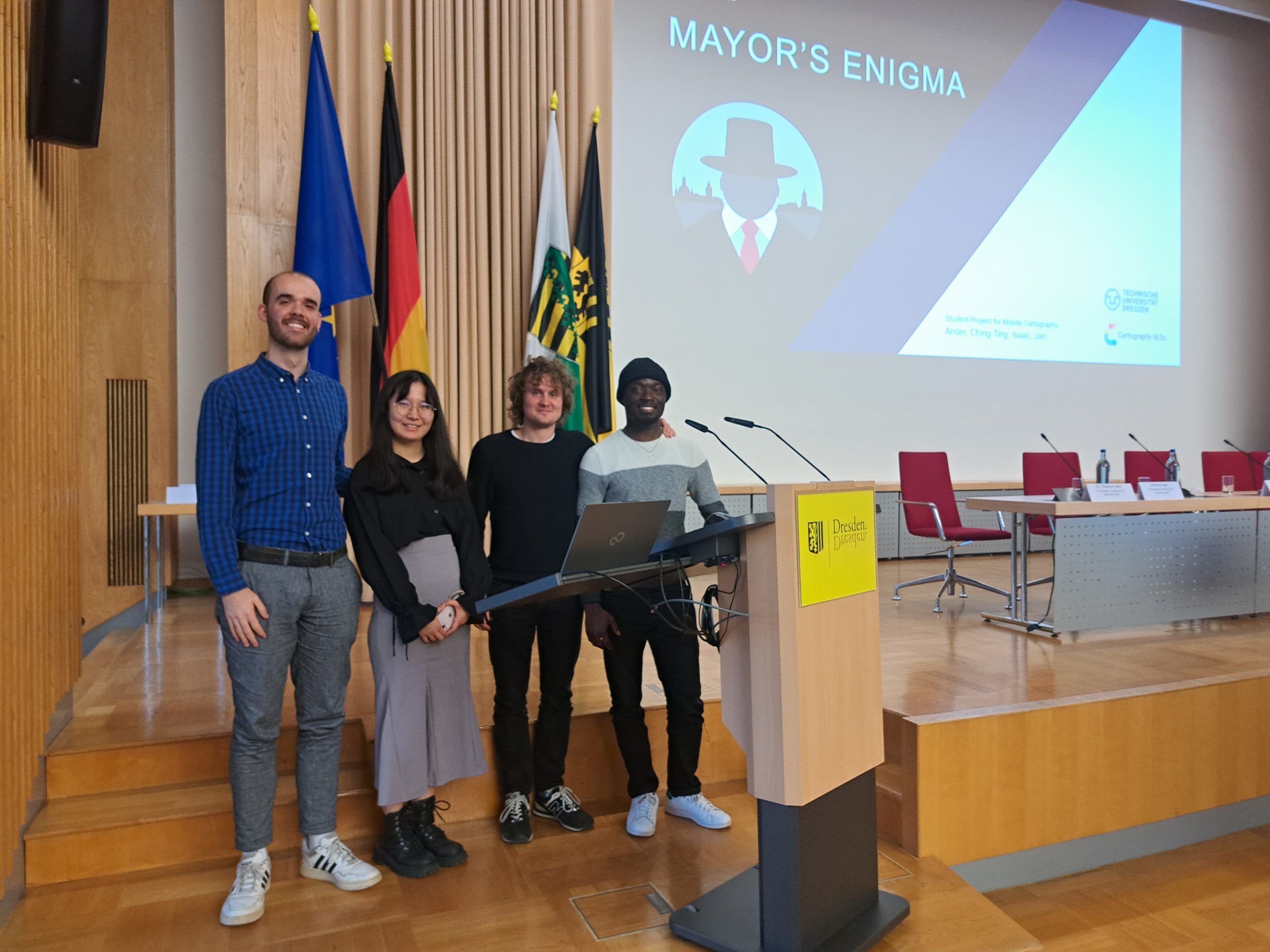
One session of this congress is dedicated to education and research, and selected students can briefly present their projects or theses. Four of our Cartography students were given the opportunity to introduce their project work for the “Mobile Cartography” module, which is taught at TU Dresden. The project is a mobile map application with the name “Mayor’s Enigma”. With this app, Ander, Ching-Ting, Isaac and Jan put the user in the role of a detective in the 1920s who has to solve the mysterious disappearance of the mayor of Dresden. Some participants were certainly surprised to suddenly hear an English presentation at the German-speaking congress, but the sympathetic group impressed with their creatively designed application and their enthusiasm for it, and clearly stood out among the other student contributions.
Would you like to know more about the game and try it out? Please see: https://cartographymaster.eu/studentwork/majors-enigma/
Congratulations! Well done!


