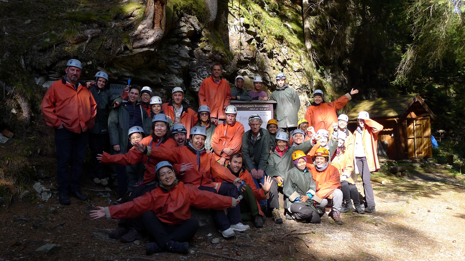
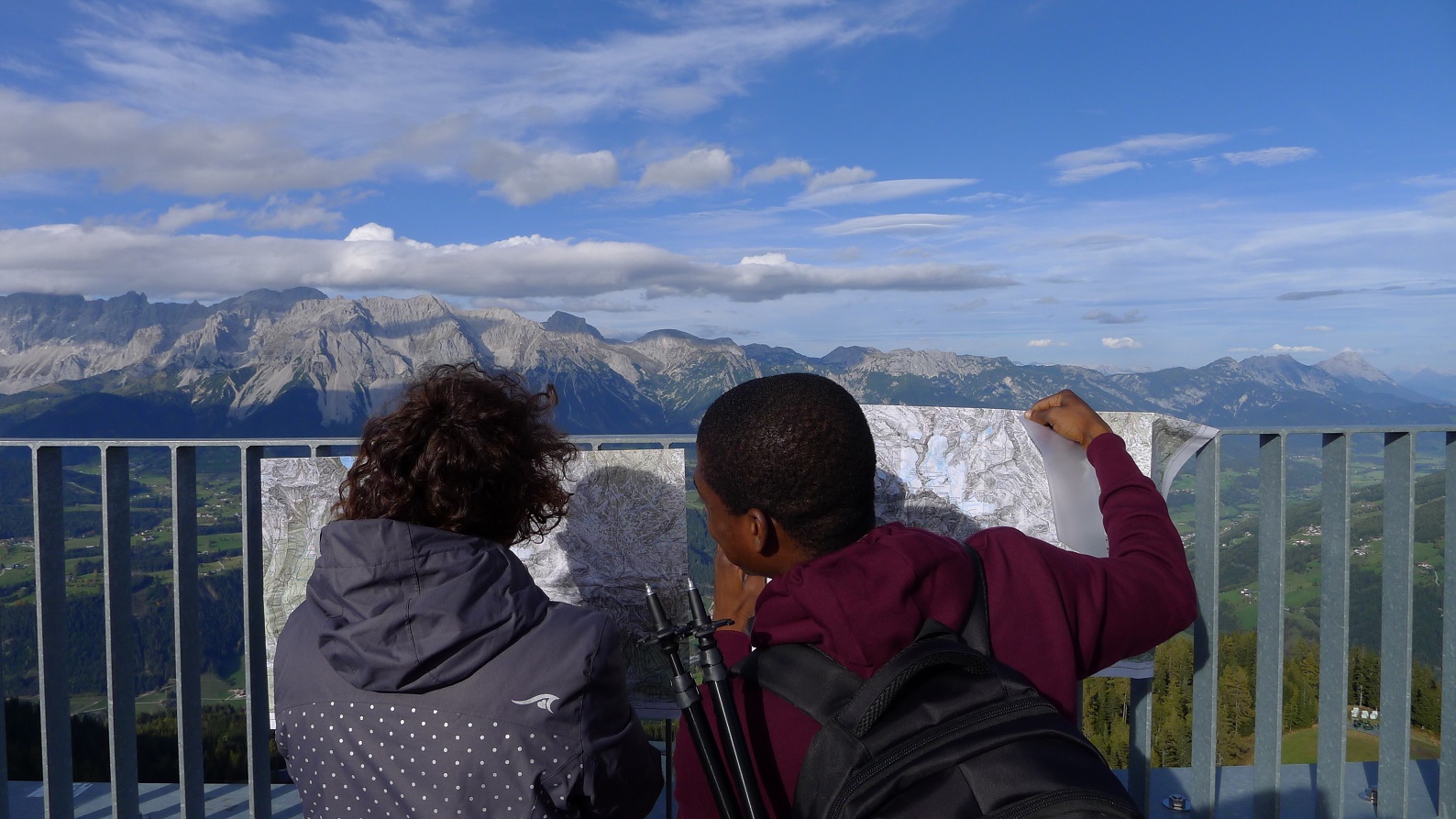
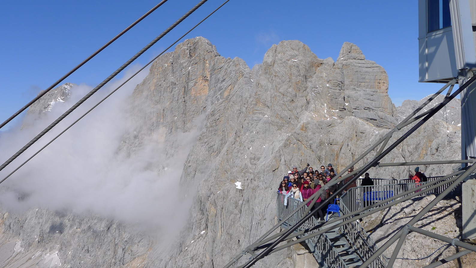
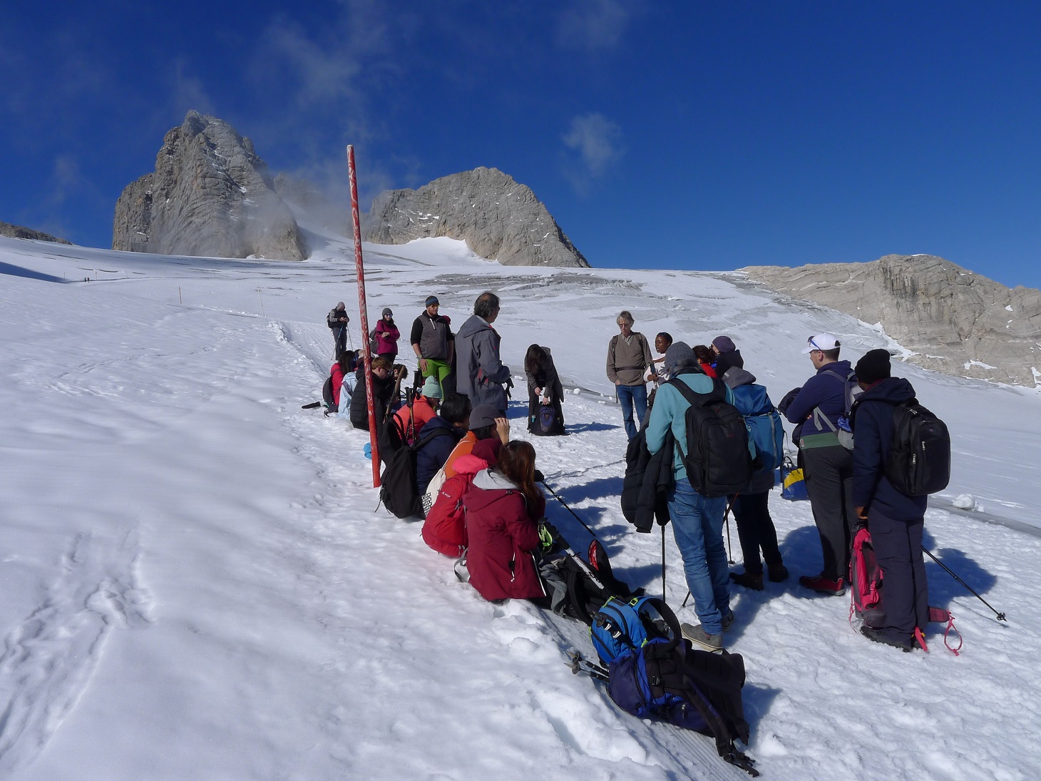
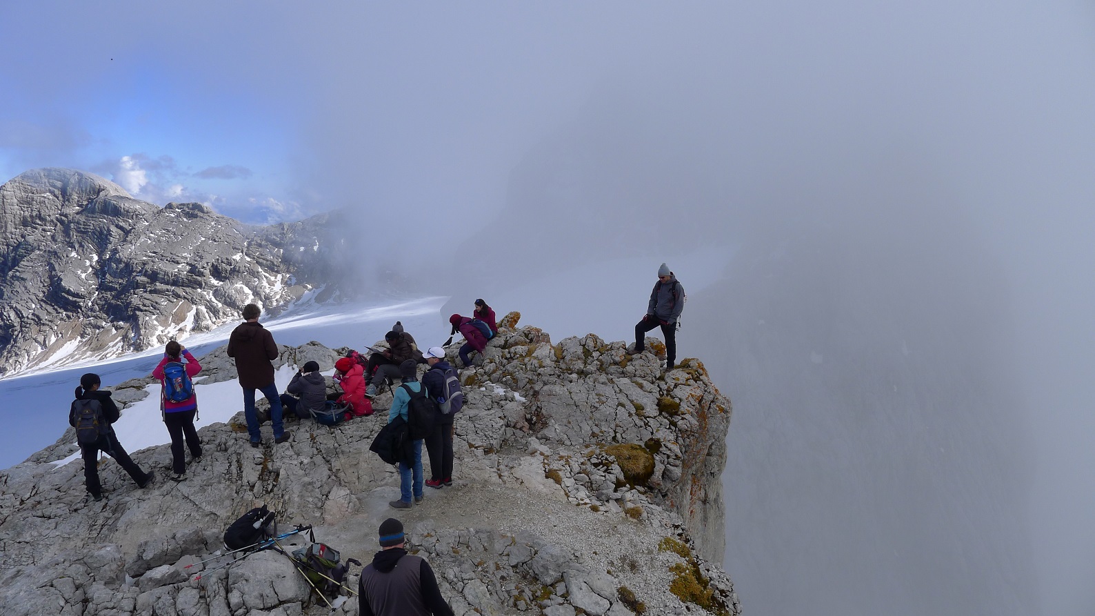
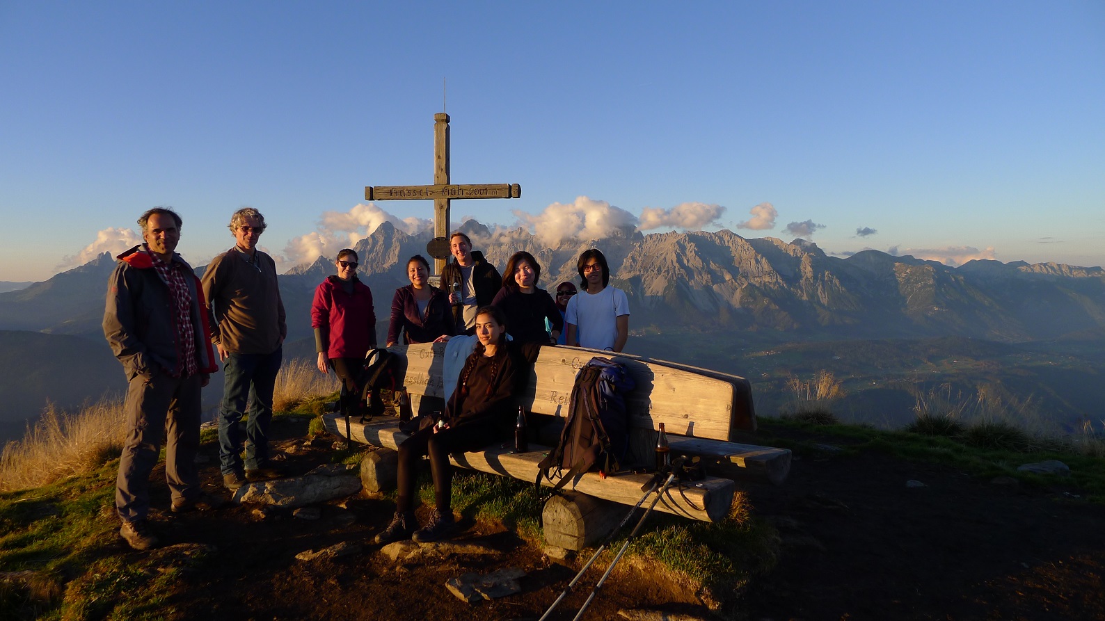
In early October, 23 students of the Cartography M.Sc. programme and three students of the TU Dresden Master programme Geoinformation Technologies made their way towards the small mountain village of Ramsau/Dachstein (Austria) and its beautiful surrounding high-alpine environment. Within nine days different topics including landscape models, mental maps, laserscanning, glaciology and others were covered mostly through interactive outdoor lectures given by preassigned teams of students and lecturers from TU Dresden. In the framework of the newly established Project Day students had to create their own panoramic landscape depiction starting from data collection all the way to the final product. The results look quite impressive! Though containing some obstacles the orienteering event marked an enjoyable experience for most participants, certainly enhanced by this year’s perfect weather conditions.