The idea behind this map was to create an interactive display that allowed users to examine changes in Lake Chads extent over time. The map is a booklet with cut outs that help users visualize Lake Chads shrinking extent. In addition to providing information on the changing extent of Lake Chad, the goal of this project was to create a new interactive way for users to visualize changes in geographically related features in a printed map.
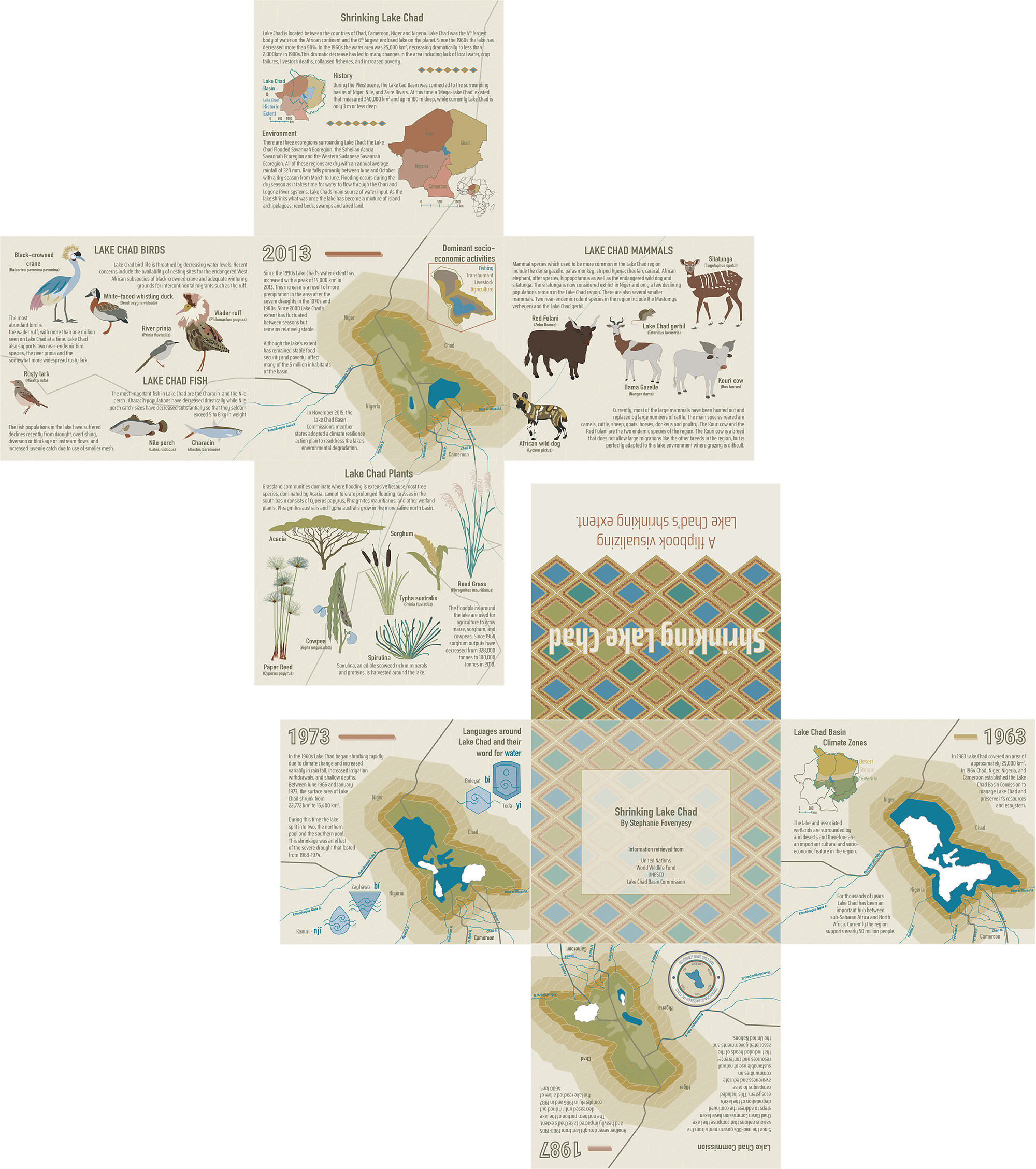
There are four maps that depict Lake Chads extent in 1963, 1973, 1989, and 2013. Information about each period is provided alongside each map. Inset maps are also included in the booklet and include information on the location of Lake Chad, the historic extent of Lake Chad and the Lake Chad basin, the predominant socio-economic regions that are supported by the lake and the ecoregions that surround Lake Chad. The booklet also includes information on the predominant species in the region, focusing on those affected by the Lake’s shrinking extent.
To view an animated gif of the booklet, click here (4.5mb).
Student: Stephanie Fovenyessy
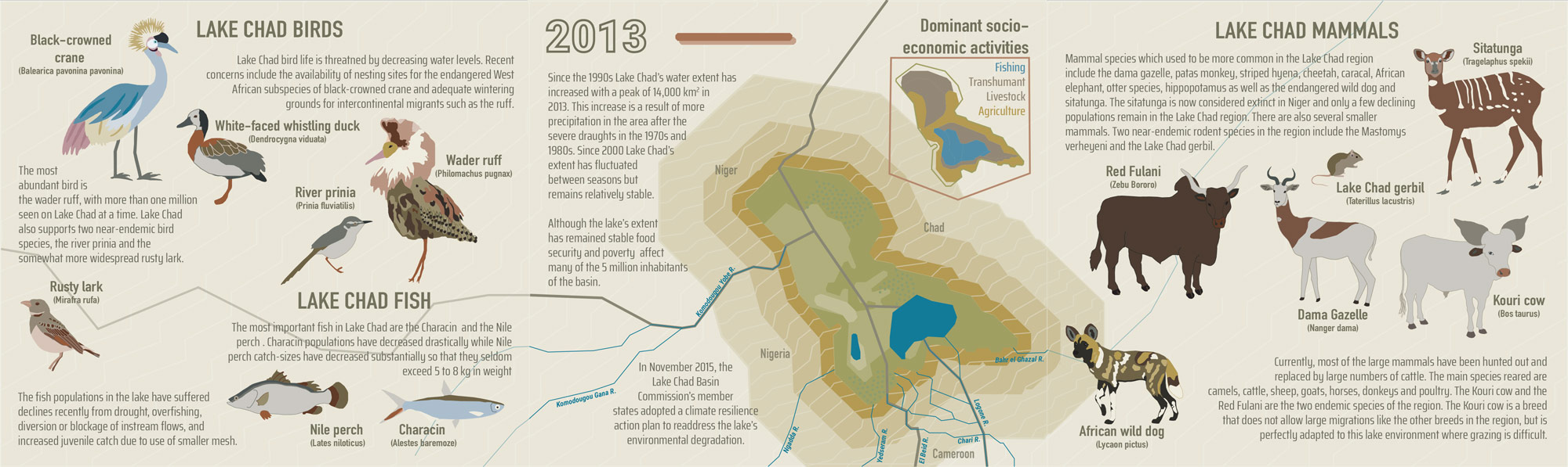
Detail view with illustrations of Lake Chad birds and mammals
The map was created within the class Project Map Creation at TU Wien in summer semester 2020.