Raluca Nicola, an alumna of the 1st Cartography M.Sc. intake, shares her experience in developing an exciting career of a cartographer working with Web mapping, 3D and visualizations.

Six years ago, I completed the Master in Cartography. Looking back at those student times, great memories come to my mind: interesting lectures (my favorite ones were web cartography and scientific visualization), living in three beautiful cities, field trips, learning German at Volkshochschule in Dresden and many many more…
Making maps as an intern for the Swiss National Park
After graduation, I wasn’t very sure about which direction I should go. From the options I had at the time, I chose an internship with the GIS department of the Swiss National Park. I chose this internship because living in a small village in the middle of the mountains while working on GIS tasks was something completely new to me, and it sounded like a great experience. And it really was! Some of the larger projects I worked on involved ecology analysis and wildlife monitoring using web mapping tools. Besides this, it was also a very creative year: I had a lot of ideas for side-projects and, by the time the internship was over, I had developed a map portfolio, which positively influenced my successful application as a research assistant at ETH.
Research assistant at the Institute of Cartography and Geoinformation, ETH Zurich
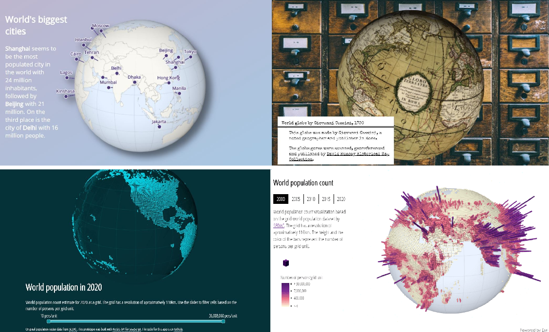
My main tasks here were to collect, process, and visualize data for the Atlas of Switzerland, a 3D digital atlas that presents various information related to Switzerland. I enjoyed working with knowledgeable cartographers and exploring different types of visualizations in 3D. In addition, I was also involved in teaching activities of which I mostly enjoyed the course of Web Mapping. Provided that you want to do a Ph.D., working at a university gives you a lot of freedom in experimenting with different visualizations and cartographic techniques. Working in the industry, on the other hand, allows you to learn best practices and workflows to develop products that are used by thousands of people.
Working on 3D web mapping tools at ESRI
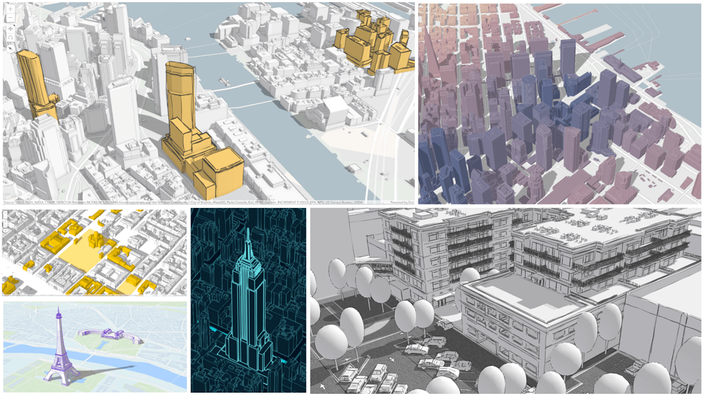
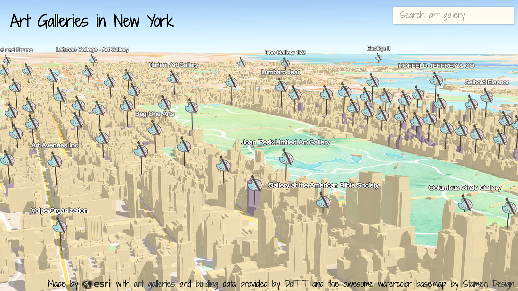
Working at Esri R&D Center Zurich I get a bit of both worlds: in my work, I get to experiment with 3D visualizations and try out new techniques, but my main work involves writing documentation, writing tutorials and blog posts, creating demo samples, testing new features and helping users with questions about the API. The product that I work on is ArcGIS API for JavaScript, which is a web mapping API that allows you to create 2D and 3D maps. Until some years ago, tools for creating real-time 3D maps were very sparse and not adapted for cartographic needs. This is constantly changing: more and better tools for 3D data visualizations are emerging, making this a fascinating field of work. An exciting but also challenging part of my work is being involved in the design of the new features. The design part consists of collecting and understanding user needs: how do people use it, what settings do they need to customize, is the feature compatible with other software from the Esri platform. The design of the public API can also trigger big discussions: what is the right name for the new class/property/method? Is it a property of the symbology or the layer? Such questions can best be answered when GIS experts and cartographers work together with software engineers.
Some of my posts for ArcGIS blog:
Three pieces of advice I would give to myself as a student:
- If you’re interested in interactive cartography, learn to code. By learning to code I don’t mean turning yourself into a fully-fledged developer, but being able to write code that allows you to automate tedious tasks or that enables you to build up small prototypes to test an idea. Python is a good language to start with, and it is also widely used for data processing and analysis. JavaScript is a good option for creating interactive visualizations on the web. Using JavaScript instead of an online tool to make maps allows you to be more creative, and it gives you much more space to explore different visualization types.
- Work on side-projects with topics you are interested in. This is not only a great way to learn, but it’s also a really practical way to show your skills later on when looking for an internship or a job. Gather the projects you are proud of in an online portfolio.
- Network and then network some more, the geo-community is very active and welcoming. Go to conferences or local geo-meetups and present your student project. If there is no geo-meetup in your city, how about organizing one? And for those that aren’t very comfortable approaching people they don’t know in person, nowadays there are many ways to get in touch with others, either via email or on social media. Just reach out to that experienced cartographer and ask for advice in an email.
Have fun mapping!
Raluca Nicola


