Blurry Borders – an atlas on disputed borders
“Borders are part of every map, it’s a cartographer’s decision how to present them.”
What it is about
Our project “Blurry Borders” is an atlas about border disputes, their history, and the right cartographic visualization of those. The atlas was aimed to give readers an overview on different kind of border disputes – in detail: where in the world those are located, and which entities are involved. “Blurry Borders” includes an introduction to border disputes as well as various maps of individual conflicts along with additional information, and an attractive design. Each day we receive information about borders and their political problems. But how much do we know about them? This atlas makes all this information readable and understandable for everyone.
How we built it
Our research started with the collection of different data sets about border disputes. After merging the data sets and eliminating the repetitive information, we started with the classification of our data. In the end we had seven different categories which were also used as the chapters of the atlas. The next step was the layout of the atlas and the design of the maps which included the use of monochromatic color swatches for each chapter and isolines which we derived from SRTM data. Additionally, we created pages for the introduction to the topic, statistical information as well as some fun facts. The softwares we used included QGIS, Adobe Illustrator and InDesign.
Challenges we ran into
Probably the most challenging part of our project was losing the expectation of creating a completely unbiased atlas that shows every point of view. Some conflicts have deep roots and have been going on for hundreds of years and it is just not possible to give a short overview within two A5-pages while considering all the different statements.
What we're proud of
We both have a passion for print media and appealing designs; therefore, we are very proud that we managed to make a well-designed atlas of that size in this short amount of time. Obviously, we are also proud to have our first book!
What we learned
We learned firsthand how controversial the topic of border disputes is. Our fellow students can attest that our project has generated the most discussion in the feedback sessions. At the same time, we were happy about the numerous amounts of feedback and different point of views we received.
What's next
The next step is the printing of the atlas, which we will later bind. Additionally, from the first view at our data sets it was clear that we cannot map all the 222 border disputes. Therefore, we kept the possibility of continuing working on our atlas and map even more of the disputes. We love the idea that “Blurry Borders” is a project that can continue and be added to.
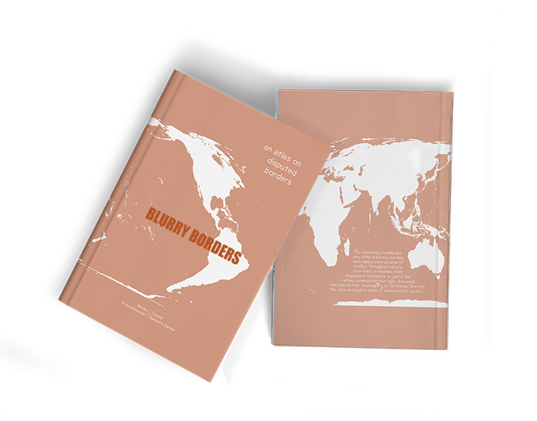
Cover of the atlas “Blurry Borders – an atlas on disputed borders”
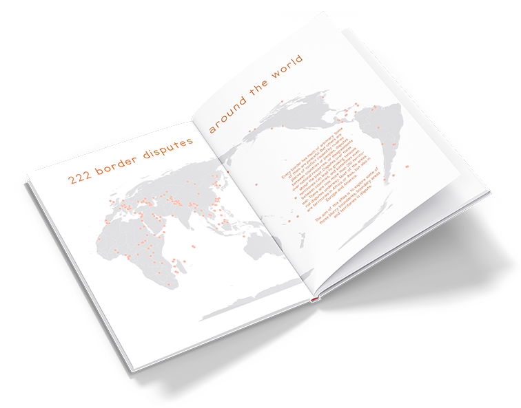
Border disputes around the world
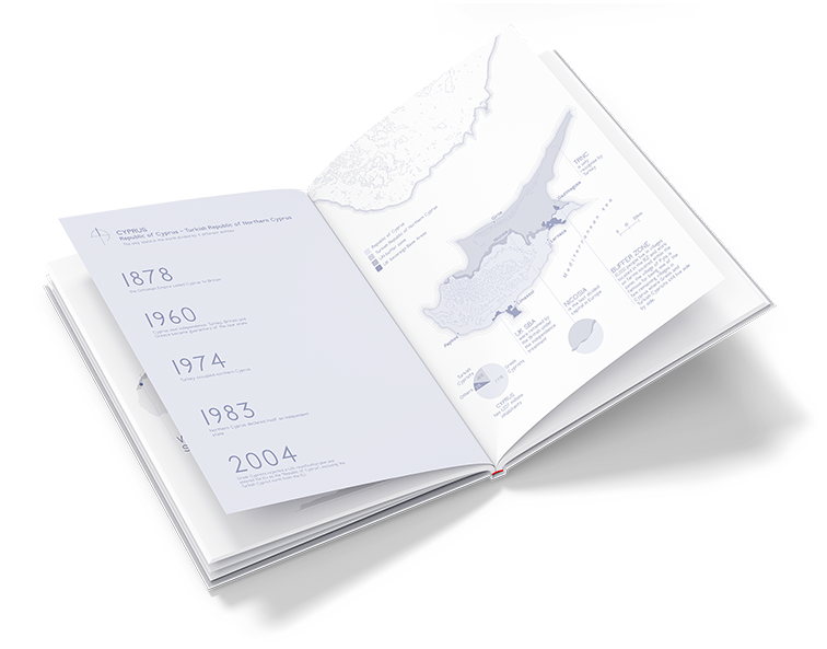
Sample map of border dispute in Cyprus
Sources
References can be found at the end of the atlas.
Students
Monika Krautschneider
Camila Narbaitz Sarsur
Camila Narbaitz Sarsur
11th intake
Supervisors
Juliane Cron, M.Sc.
Dr.-Ing. Mathias Jahnke
Dr.-Ing. Mathias Jahnke
Keywords
disputed borders, social cartography, critical cartography, atlas design
Try it
