Inspired by the limitations of text in conveying the rich lives of historical figures, we have developed a story map that connects time and space. This story map allows users to effortlessly explore the live of Ludwig. It goes beyond being just a map; it offers an immersive cultural journey that helps users deeply understand the lives of philosopher and his impact through interactive experiences. Our primary goal is to provide users with an intuitive platform that tells captivating stories and helps them learn about famous individuals’ lives and achievements.
The Wisdom Navigator — Footprints of Philosophical Odyssey of Ludwig Wittgenstein
"Philosopher's life story map: Traversing the Cultural and Epochal Landscapes of a Sage's Existence."
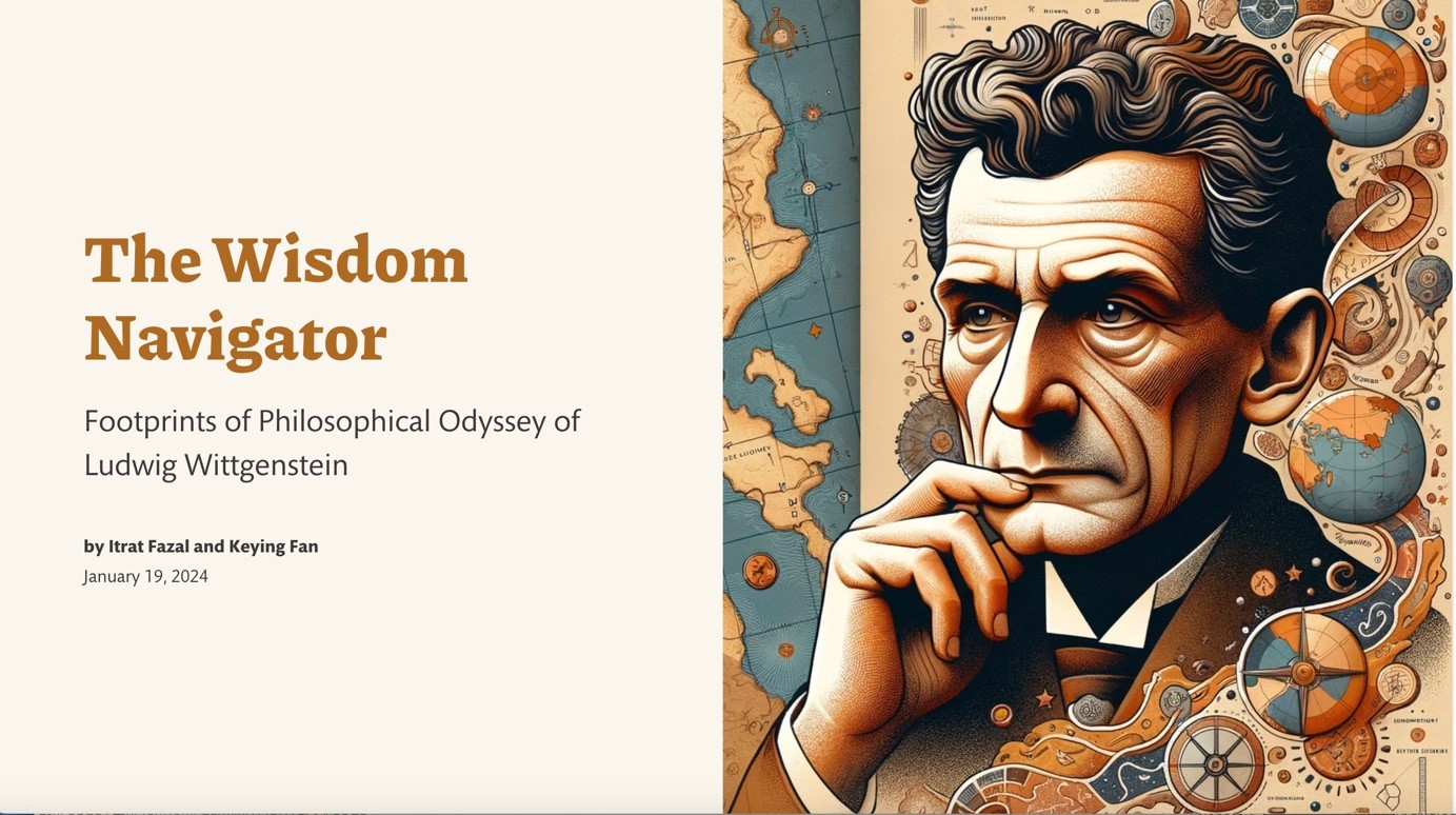
A Sneak Peak of the Storymap: Ludwig Wittgenstein - A Philosophical Odyssey.
What it is about
How we built it
In order to gather data about Ludwig's life, including the timeline of events, event details, and geographic coordinates, we researched by consulting relevant biographical literature and searching the internet for pertinent information. To effectively present this data and create interactive maps, we selected the ArcGIS StoryMaps platform. This platform offers a comprehensive set of features that facilitated the construction of a narrative framework for our story maps, allowing us to present the data and stories in various media formats. Furthermore, we utilized ArcGIS Pro software to create embedded maps for displaying location-specific information.
Challenges we ran into
We initially planned to use OpenLayers for our story maps, however, due to technical limitations, the final result didn't meet our expectations. Consequently, we switched to a different map framework platform to meet our needs. In terms of data collection, our data involved detailed life stories of characters, which required extensive research in literature and various sources. This was a challenging task as we had to sift through a large amount of information to ensure its accurate presentation in the story maps.
What we're proud of
Choosing the Storymap platform was a wise decision, and we utilized it to achieve the desired functionality settings, including media interaction and seamless geo-location transitions. In the end, this allowed us to effectively present comprehensive character stories.
What we learned
In this project, we learned to use the ArcGIS StoryMap platform, which was entirely new to us. This experience greatly enhanced our expertise in geographical information and data visualization. We also gained deeper understanding of philosopher through the data collection process. In addition, we learned that collecting data, especially when dealing with a large number of life stories, can be challenging; for this reason, it requires careful planning and coordination.
What's next
In the future, we intend to introduce new features programmatically, building upon the existing ArcGIS StoryMap functionality. This will enhance the interactivity of the StoryMap and enrich the presentation of the deeds of various characters. Furthermore, we are considering focusing on Ludwig as the central figure while also incorporating the life stories of other related individuals. This approach will allow us to present a more comprehensive narrative of 20th-century philosophers.
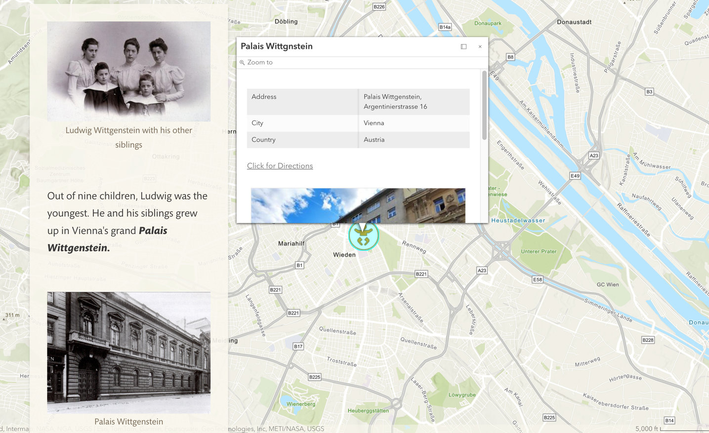
Character Story Introduction and Location Popup Description.
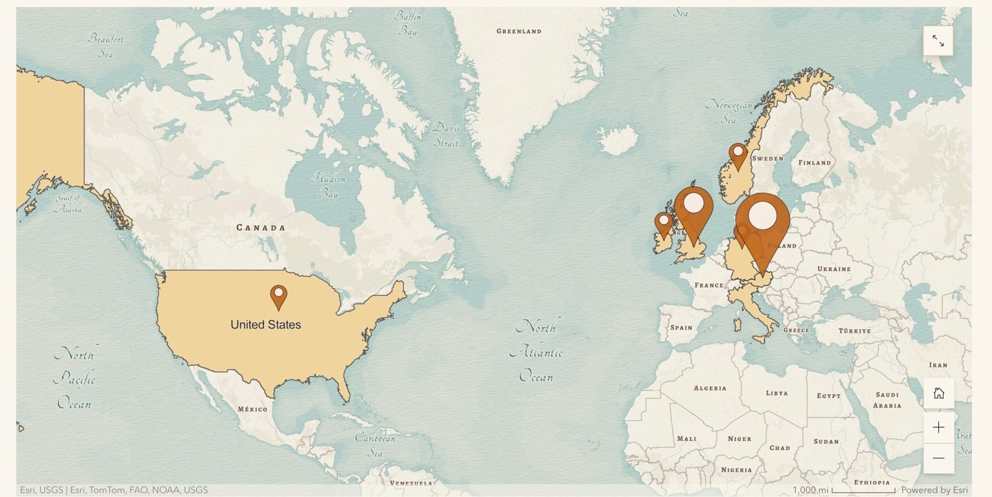
Ludwig's Life Footprints Overview.
Highlighting Ludwig's story locations(countries).
Students
Keying Fan
Itrat Fazal
Itrat Fazal
13th intake
Supervisor
Juliane Cron, M.Sc.
Keywords
Philosophers, story maps, biographies, slide-car, Ludwig Wittgenstein
Try it