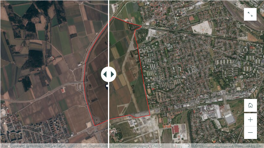
Our project is a research initiative that explores the evolution of land use and land cover changes in urban areas by using Freiham as our case study a new urban district in Munich, Germany. It reflects on the present situation of Freiham, which balances urban growth and environmental protection. It also examines the historical development of Freiham, from its past as a farming area to its present as a green and efficient urban hub. The project uses satellite images and maps to show the land use and land cover changes in Freiham in four different stages.
Mapping Land Use Changes: A Case Study of Freiham
"Urban Landscape Dynamics: Unveiling Freiham."
Sneak Peak of the Storymap: Early Planning and Infrastructure Development (2014-2017)
What it is about
How we built it
We used ArcGIS Pro software for our data processing. The sentinel 2 satellite data images for 2014, 2016, 2018, 2020, and 2023 were collected from the ArcGIS Living Atlas, and it was digitized to the boundary of the area of Interest Freiham North. The imageries were used to process the land cover and land use, and it was classified into 3 classes: vegetation, bare land, and built-area. Finally, the overall difference between 2014 and 2023 land use and land cover was also processed, and we illustrated the results by using maps, pie charts, and bar charts. These were then presented and published on the ArcGIS Story map platform.
Challenges we ran into
One of the main challenges we faced in our project was the lack of high-resolution images for Freiham. Another challenge was the technical problems with ArcGIS Pro, such as slowdowns and crashes, which caused a lot of delays and setbacks in our project.
What we're proud of
We are proud of our project’s success, how we achieved problem solving skills from the beginning, adaptability and efficient collaboration. Our dedication to overcoming obstacles has not only yielded pleasing outcomes but has also enriched our learning experience.
What we learned
We learned and understood the challenges associated with data acquisition, recognizing the intricacies and difficulties involved in sourcing high-quality data. This awareness has underscored the significance of implementing robust spatial data collection strategies, thereby contributing to our knowledge base and refining our approach for future endeavors.
What's next
Future enhancements to our project could involve the inclusion of Freiham South, an area that was not covered initially due to time constraints. This extension would contribute to a more comprehensive understanding of the entire area, providing a holistic view of changes. Leveraging the existing methodology and experience gained, integrating Freiham South would be a logical and valuable expansion, offering a more complete analysis for stakeholders, researchers, or urban planners interested in a thorough assessment of the entire Freiham district.
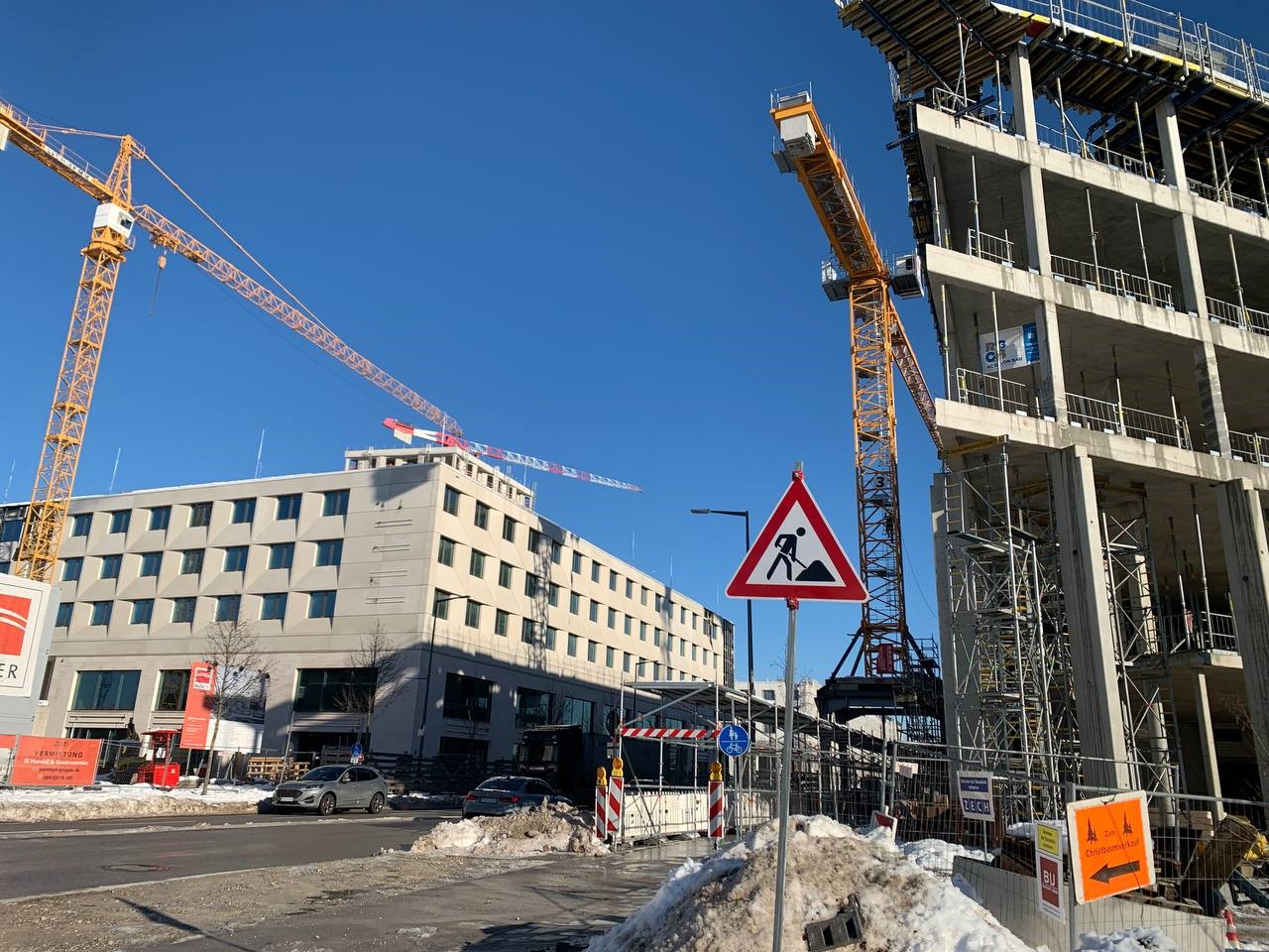
Construction in progress.
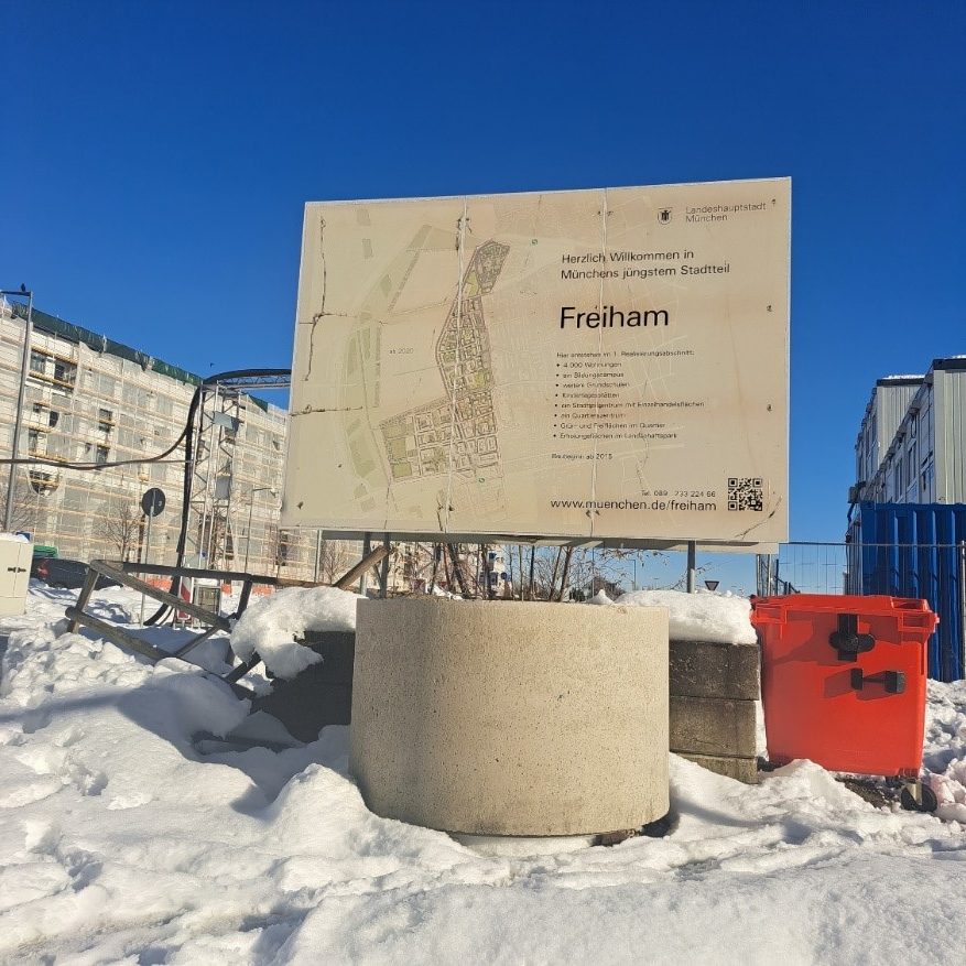
Freiham billboard.
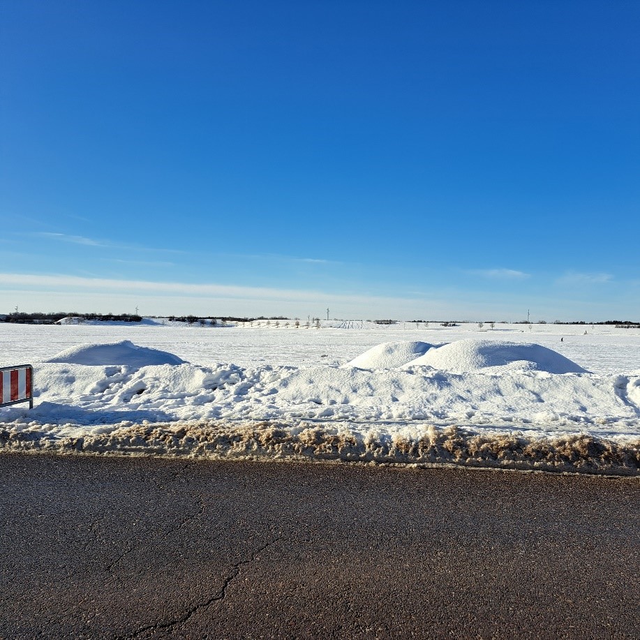
Bare land area in Freiham.
Students
Nyasha Chigume
Ridwan Waheed
Ridwan Waheed
13th intake
Supervisor
Juliane Cron, M.Sc.
Keywords
Freiham, Land Use, Urban Development, Transformation, Sustainable
Try it