Mappy Munich
"Mappy Munich is an online guide for tourists with limited mobility, that provides accessibility information for essential amenities and tourist attractions in the city center of Munich through interactive web maps."
What it is about
The main aim was to provide an aesthetically pleasing and map-focused online platform that provided touristic accessibility information of Munich city center for those with limited mobility. We were able to create a website that includes web maps for essential amenities and multiple sightseeing routes categorized based on the main tourist attractions in the city center.
How we built it
The geospatial data of accessible places are collected from OpenStreetMap. With Python Pandas library, we performed data pre-processing. We used QGIS and ArcGIS Pro to manipulate spatial data sets, especially to adjust routes and attributes for accessibility then convert them into geoJSON to be used for online mapping. Our website was built with HTML, CSS and JavaScript. We decided to use Mapbox Studio and Mapbox GL JS because of its rich features and customizability. We also used Adobe Illustrator to create custom icons for our map.
Challenges we ran into
Learning Mapbox GL JS, JavaScript and applying what we learnt, pre-processing huge amounts of data from OpenStreetMap and issues about the geometric form of data were the main challenges we faced.
What we're proud of
We were able to put our ideas and sketches to life and create a fully functional website with beautiful web maps. We are proud of over coming many challenges during whole process and being able to improve our skills.
What we learned
- Downloading and processing data from OpenStreetMap,
- Data integration, pre-processing and conversion to different formats (e.g., CSV, GeoJSON, SVG),
- Using Mapbox Studio and GL JS for the web map development,
- HTML, CSS, JavaScript languages,
- Improving our map visualization and UI/UX design skills,
- Learning more about the concept of accessibility and tourism.
What's next
- Improve responsiveness and mobile friendliness,
- User tests to improve usability for the disabled,
- Adding an option for users to rate the route accessibility and import photos,
- Use APIs to get live updates for all data sources,
- Deeply calibrate the data accuracy for the filtering function,
- Having different colours in the symbology of categories in the "Plan Your Trip" page.
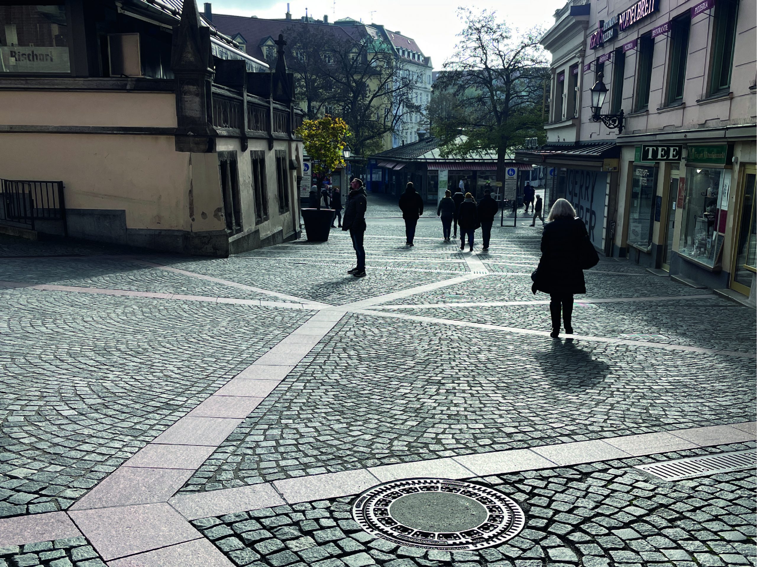
Image from old town site visit.
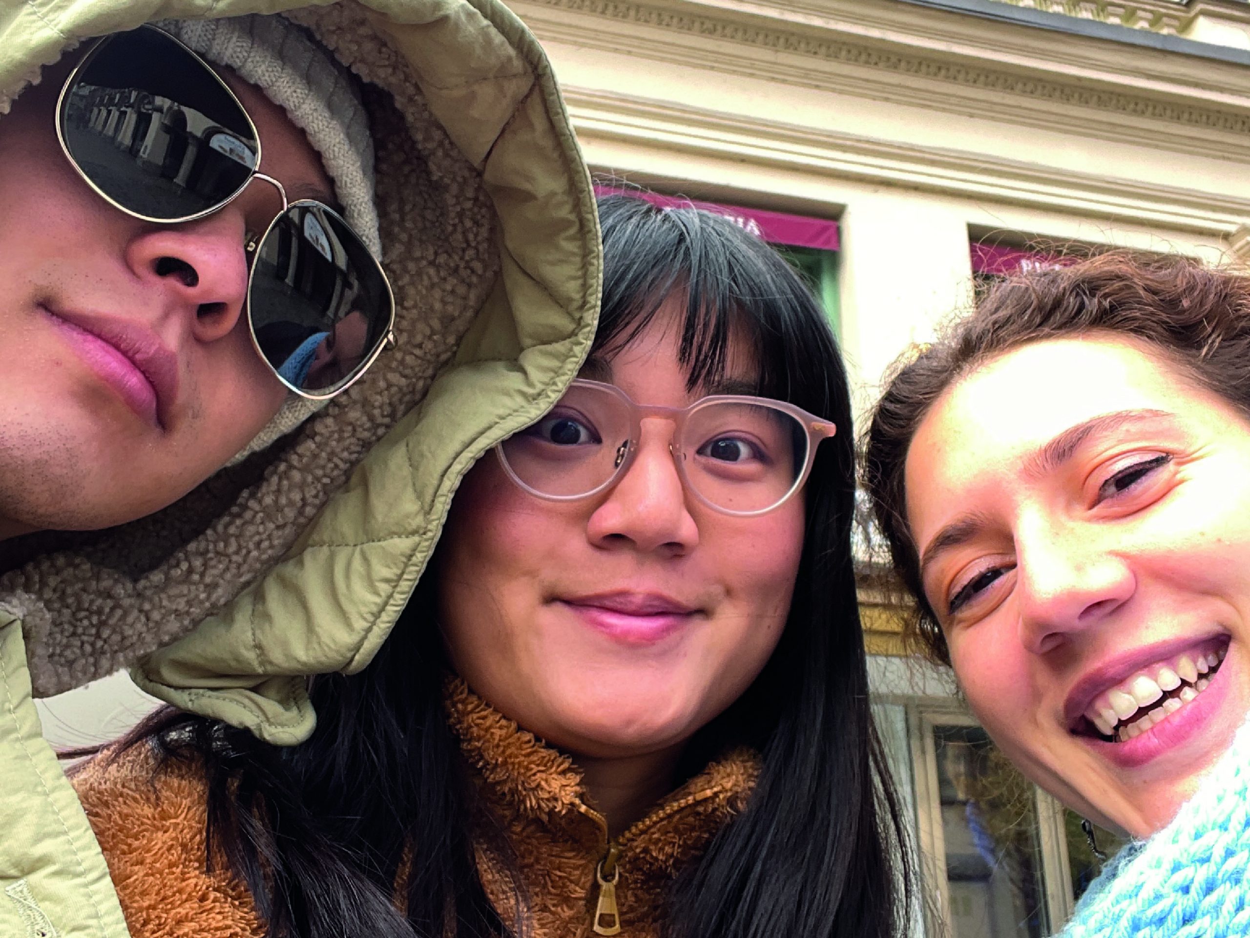
A group photo from our site visit.
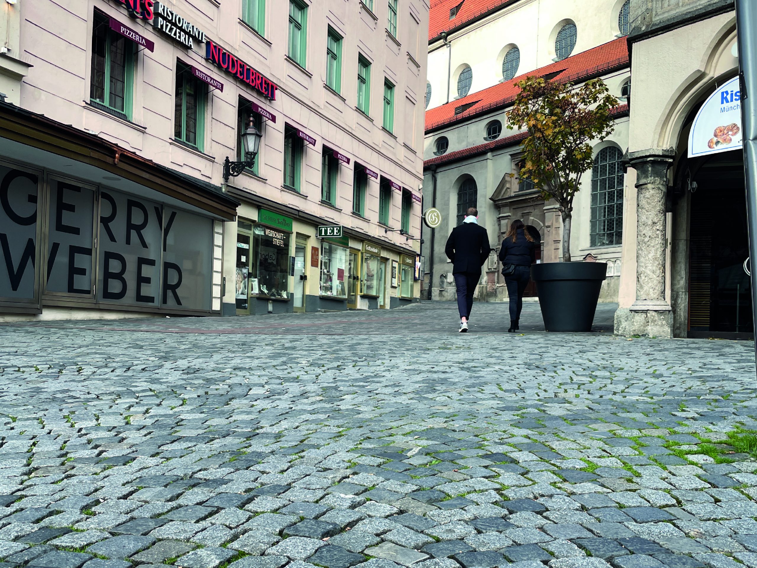
Another image from old town site visit.
Students
Dilara Bozkurt
Phoebe Ly
Zhenjiang Li
Phoebe Ly
Zhenjiang Li
12th intake
Supervisor
Juliane Cron, M.Sc.
Keywords
tourism, travel, Munich, accessibility, limited mobility
Try it