Our project is about Peter Jackson’s first installment of Tolkien’s Lord of the Rings trilogy: “The Fellowship of the Ring”. Combining the movie's real-life filming locations from New Zealand map and the places on the fantasy map of Middle Earth, users can explore the maps and see the different routes of the characters and possible tourist routes. Both maps contain interactive features such as the ability to toggle layers on and off and popups providing the user with more information. This way, the user has almost full control on what they would like to see and feels free to navigate himself through the story map.
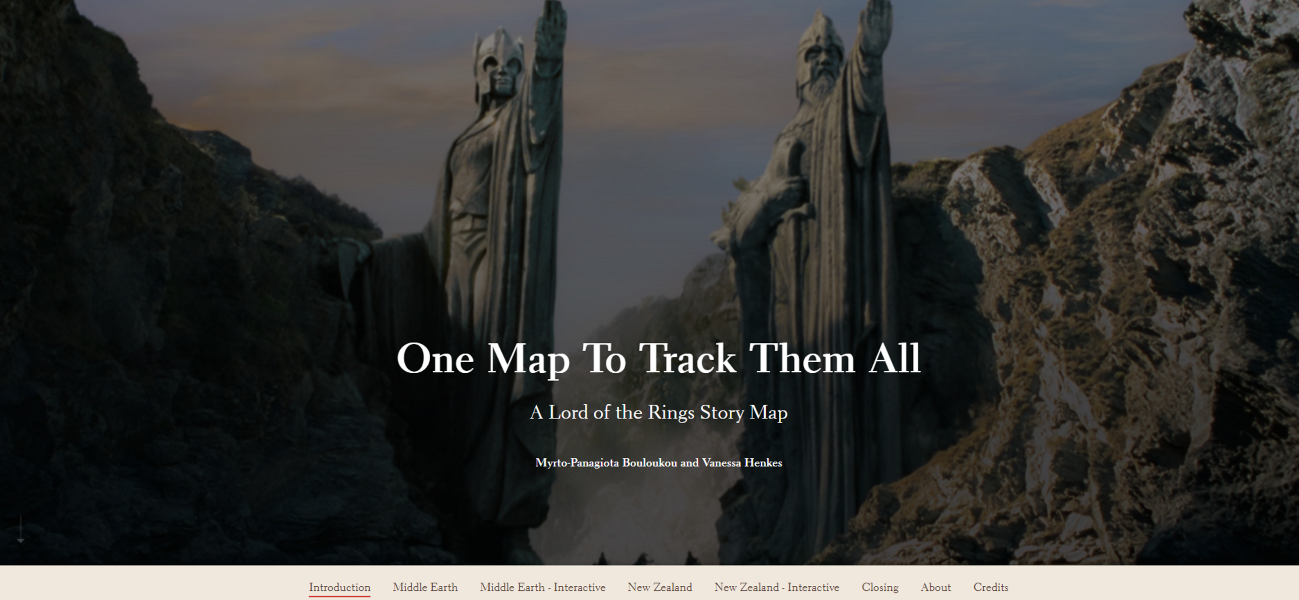
One Map To Track Them All – A Lord Of The Rings StoryMap
"Once upon a time, there was a wizard, four hobbits, an elf, Gimli the Great and some men… and that is how it begins”
Screenshot of the Storymap.
What it is about
How we built it
For the Middle Earth map, we used a DEM from GitHub and used vector field symbology to visualize the different elevations with our own self-made icons. Afterwards, locations and routes were hand drawn from the information found in the movie and several internet sources. In the end, popups for all the places and routes were created and added to the map.
For the New Zealand map, we preprocessed the data obtained from the New Zealand website, Ian McKellen’s diary and the movie on Python with the method of webscraping. Moreover, for the shapefiles from LINZ Data service the preprocessing took place in ArcGIS Pro and excel. Lastly, the icons were added to the map, the labels and the pop-ups for each attribute.
Challenges we ran into
Most of our challenges were to do with the migration of the data from ArcGIS Pro to ArcGIS Online, since it turned out to be more complicated than previously thought. Another concern was to make sure that all resources used would be properly sourced, so as to not break any copyright laws. In addition to that, there was the problem of both us editing the story map.
Basically ArcGIS online hasn’t added the feature of both people editing a story map simultaneously yet.
What we're proud of
First of all, we are really proud of ourselves for reaching our goals by presenting a visually pleasing map without any prior knowledge on graphic design. Both of us did not yet have a lot of experience with making cartographically coherent maps. Next, we managed to include everything we initially wanted to during the deadlines and even made a few additions to enhance the interactivity of the story map.
What we learned
Starting this project was really a challenge for us since we are both from a technology background and we were pretty new on the art side of map making. Going through the challenges, we adapted to searching the needed data for our project, finding alternative ways to implement things and learning from our mistakes. Furthermore, we can say with confidence that we improved our hard skills and soft skills and we became a team!
What's next
In the future, we may extend this work to implement the other two Lord of the Rings movies and their routes, characters and filming locations. Even the routes for the three Hobbit movies and some more information for tourists could be added. Moreover, graphic content that resembles the characters could be added to both maps.
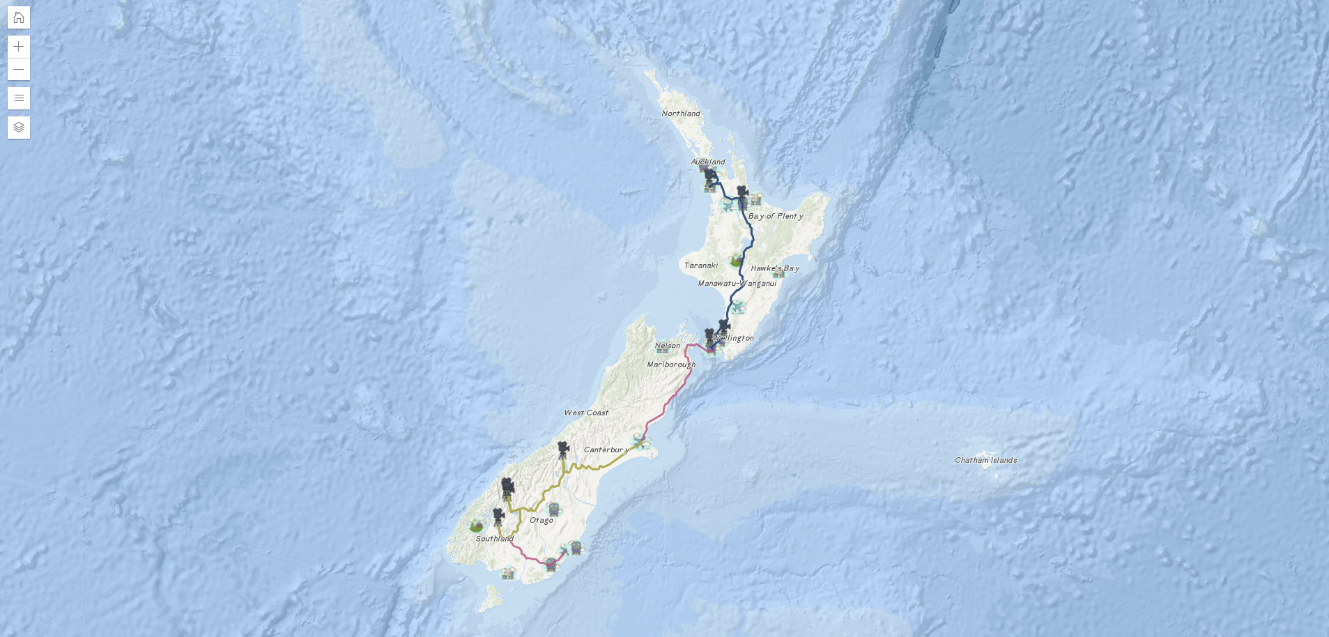
Interactive Map of New Zealand.
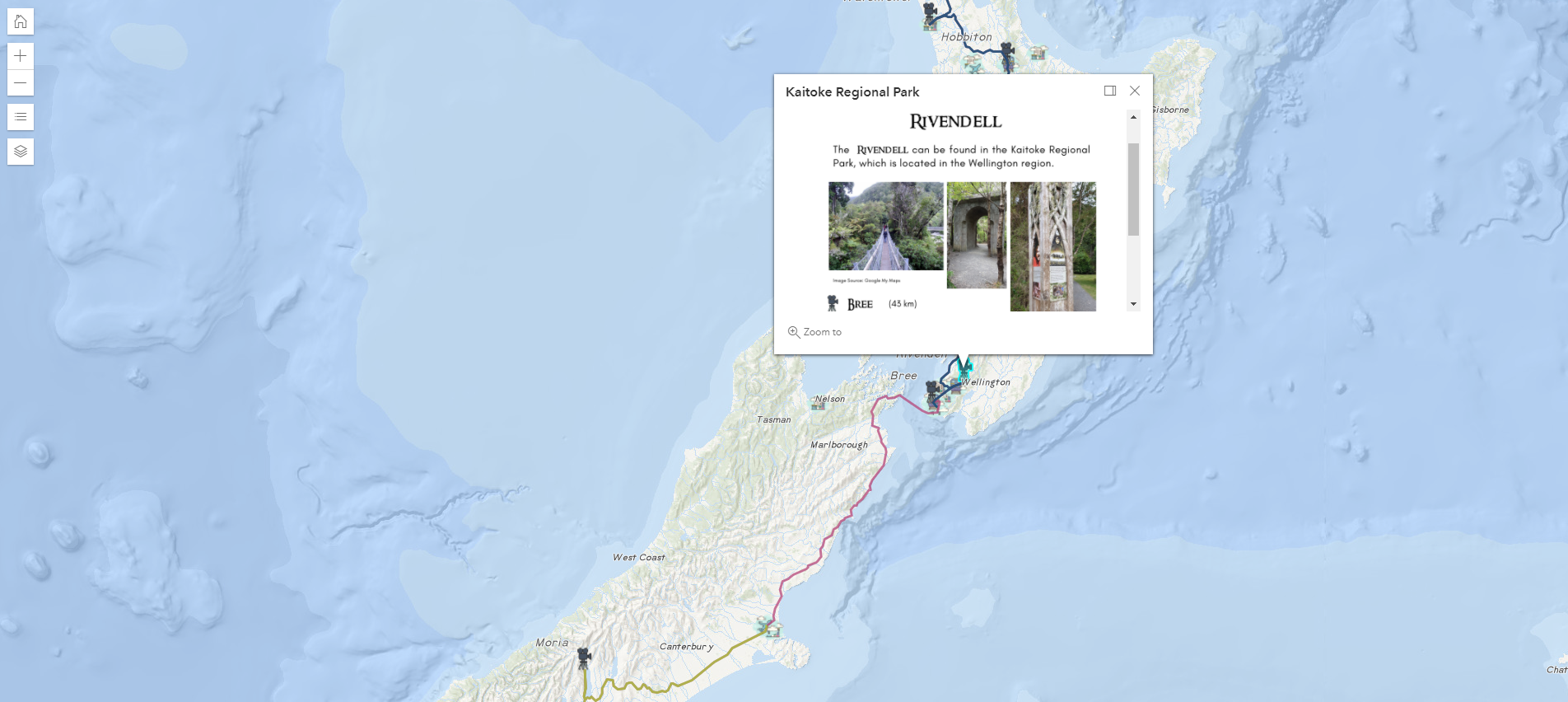
Interactive Map of New Zealand (showing one of the popups).
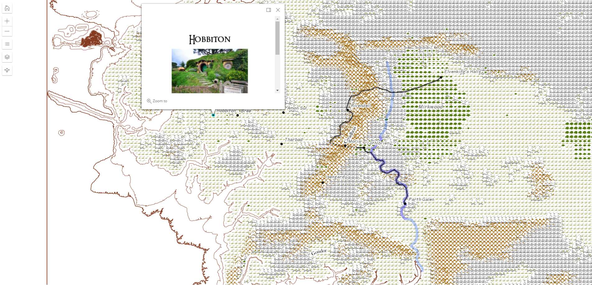
Interactive Map of Middle Earth (showing one of the popups).
Sources
Please find a complete list of references used for the project here.
Students
Myrto-Panagiota Bouloukou
Vanessa Henkes
Vanessa Henkes
11th intake
Supervisors
Juliane Cron, M.Sc.
Dr.-Ing. Mathias Jahnke
Dr.-Ing. Mathias Jahnke
Keywords
Lord of the Rings, Routes, Filming Locations, Character PopUps
Try IT